Monday’s national forecast – Mainly settled (+8 maps)
18/04/2021 4:00pm
> From the WeatherWatch archives
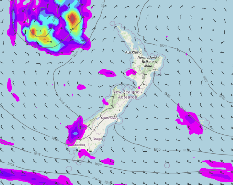
A light westerly quarter airflow lies over New Zealand today moving around a large high which is centred off to the northeast.
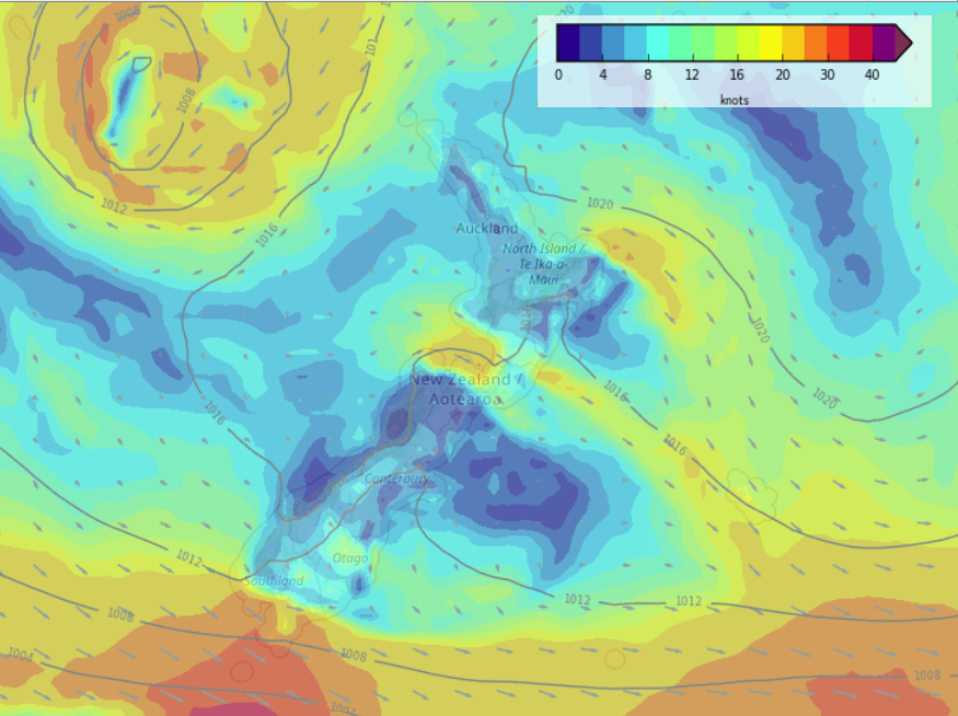
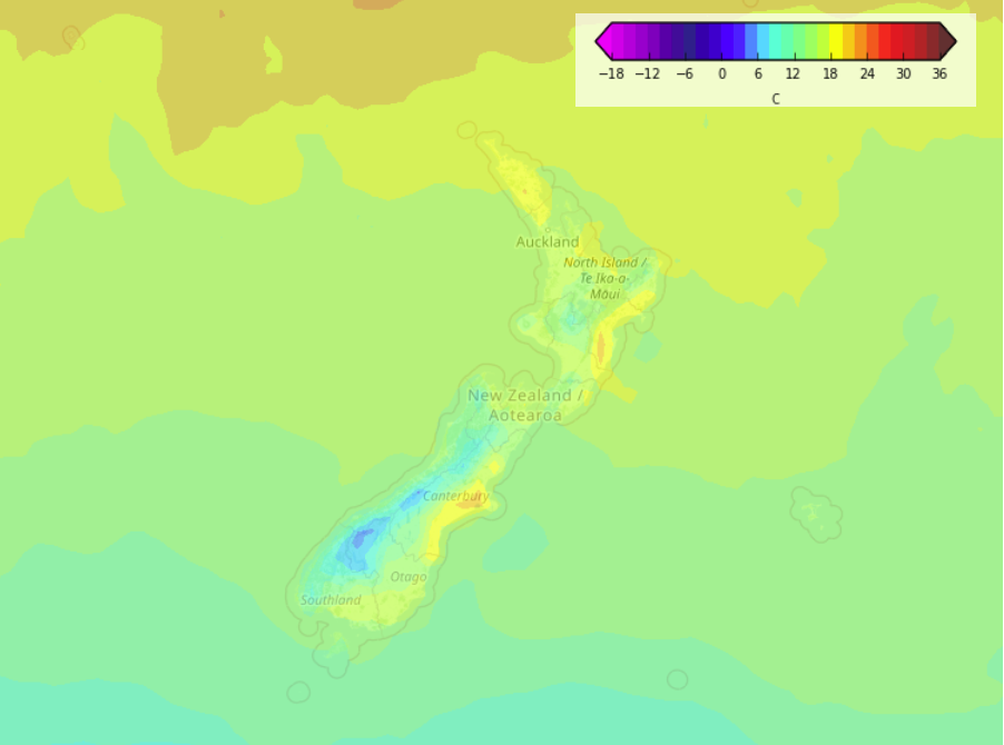
Conditions are mainly dry today but some western regions see the odd shower. Temperatures will be warmest in the east and for the upper North Island today. Winds are light to moderate for most but blustery from the northwest about coastal Southland and also the area between Taranaki and the outer Sounds / Golden Bay.
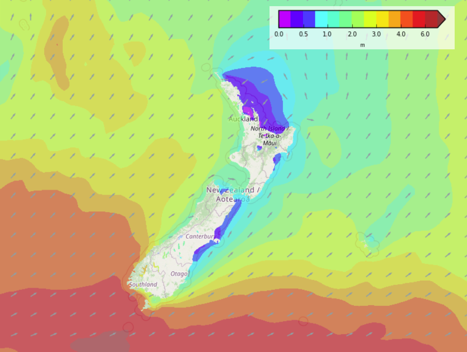
Please refer to your local, hourly, 10 day forecast for more details.
North Island
In the west expect cloudy areas and the risk of a few showers, tending to be mainly dry this afternoon north of Taranaki. The east coast is dry with some sun but expect high cloud.
South Island
Cloudy areas in the west with a few showers, showers are more likely down towards Fiordland. Southland has a few coastal showers at times. The east coast is mostly sunny but expect some high cloud at times.


Latest Video

NI low pressure, SI polar change
Low pressure will move over the upper North Island this week, bringing hit and miss pockets of heavier rain into…
Related Articles
NI low pressure, SI polar change
Low pressure will move over the upper North Island this week, bringing hit and miss pockets of heavier rain into…

Rain & showers this weekend, colder change next week
Some places will warm up over the next day or so as a nor’wester out of Australia moves across NZ,…

Temperature changes for some regions ahead of heavy West Coast rain
A nor-wester is about to kick in and it’s coming from out of Australia, boosting temperatures in some regions going…

