Monday’s national forecast – Cooling down for the eastern South Island today
6/03/2022 11:16am

> From the WeatherWatch archives
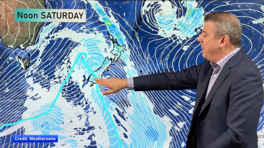
A cold front pushes northwards over the South Island this morning, weakening as it moves northwards. It reaches Wellington this morning also then some cloud and a few showers eventually move into Hawkes Bay and Gisborne this evening / overnight.
North Island
Partly cloudy Coromandel northwards with the odd shower in the east and easterly quarter winds. The Waikato, Bay Of Plenty and down through to Manawatu out west are sunnier after morning cloud or fog breaks away. A bit of cloud from midday though south of Taranaki as southeasterlies freshen. East Cape may see a morning shower clear away. A few showers push into Wellington this morning, Wairarapa this afternoon then further later this evening or overnight in the east as southerlies freshen.
South Island
Showers for Southland up through to Canterbury in the east with southeasterlies, showers clearing Southland and Otago this afternoon and there may be some late sun before dusk. Canterbury sees showers clear for most this evening but some coastal drizzle remains. Showers ease then clear for South Westland this evening but remaining about Fiordland. Nelson and Marlborough has some sun and high cloud with mid level cloud from this afternoon. North Westland and Buller has some sun and high cloud, perhaps some mid level cloud thickening up later today.
Comments
Before you add a new comment, take note this story was published on 6 Mar 2022.


Add new comment