Monday’s national forecast – A few fronts lie over the South Island
1/05/2022 12:01pm

> From the WeatherWatch archives
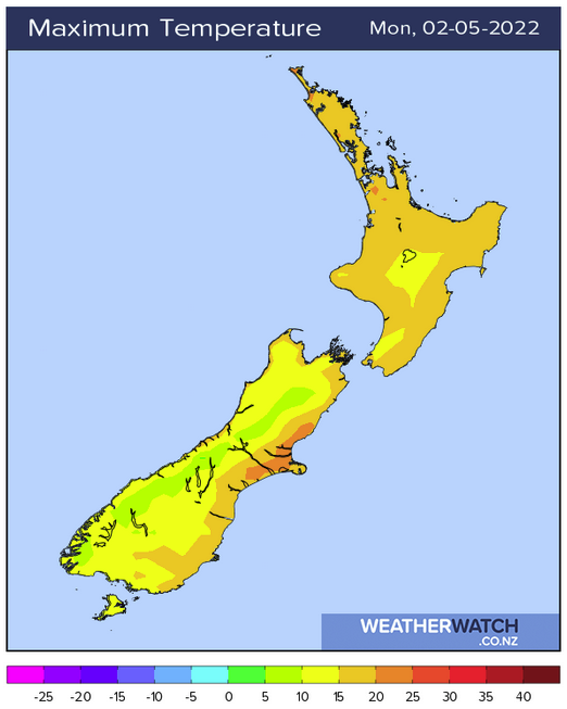
A ridge of high pressure lies over the North Island today meanwhile a series of front lie across the South Island with rain or showers in the west, dry weather out east.
North Island
Mostly sunny but expect some high cloud, there may also be some morning low cloud or fog about inland spots then breaking away. A few clouds at times will affect areas in the east Coromandel northwards, perhaps even bringing the risk of a shower. Taranaki through to Wellington is a little cloudy also with the odd shower at times.
South Island
Mostly cloudy for the West Coast with some rain or showers (especially North Westland), dry areas opening up quite a bit in the evening. Nelson and the Sounds is a bit cloudy with a few spits or showers also, clearing evening. Coastal Marlborough should be dry with cloud breaking to sun in the afternoon. Canterbury has some sun and high cloud with warm temperatures, mid level cloud for North Canterbury breaks away. Southland and Otago is mostly sunny but some mid level cloud increases from afternoon, winds from the northwest.
Latest Video

Frosts, late week rain & another cold weekend coming
High pressure will cross NZ over the next few days meaning more cold nights/mornings with frosts, but a nor’wester will…
Related Articles
Frosts, late week rain & another cold weekend coming
High pressure will cross NZ over the next few days meaning more cold nights/mornings with frosts, but a nor’wester will…

NZ: Cold & windy, then calm & frosty
Downpours, some squally with the chance of thunderstorms and even small tornadoes are possible for parts of NZ over Friday…

WeatherWatch App launches real-time local lightning tracker
A bolt out of the blue! WeatherWatch has launched a live, real-time lightning tracker, enabling Kiwis to gain access to data provided by the…

