How much rain fell Monday + Upcoming 5 Day Rain & Snow Accumulation outlooks (+4 Maps)
18/11/2019 7:23pm

> From the WeatherWatch archives
We have some further rain and snow coming to New Zealand – but also a large amount of dry weather, with most regions tipping drier than average except the West Coast.
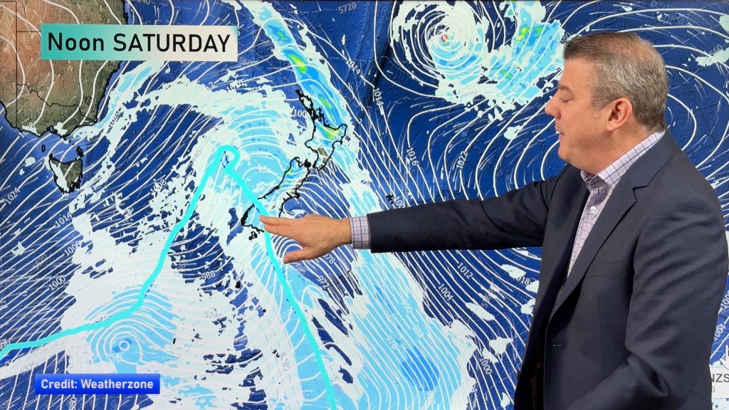
The West Coast will be most exposed to heavy rain events for the rest of November, due to the weather pattern we’re stuck in at the moment. This same pattern also favours drier than normal weather around northern and eastern regions of both islands.
This is a somewhat similar set up to Australia with Tasmania getting a lot of rain, snow and wind events, Victoria just a little further north getting brushed by some of this and further north it’s much drier.
Monday saw some heavy downpours in New Zealand – but as we forecast despite the rain some would miss out and mean the drier than average pattern continues. On Monday heavy downpours mostly impacted parts of Canterbury and Waikato.
PAST 24 HOURS RAINFALL (Please note some very localised pockets would have had more thanks to some very heavy but small downpours on Monday)

5 DAY FORECAST RAINFALL: Tuesday, Wednesday, Thursday, Friday, Saturday (up to 7am Sunday) 
5 DAY SNOWFALL OUTLOOK:
NZ’S 7 DAY RAINFALL COMPARED TO NORMAL FOR THIS TIME OF YEAR
Red = Drier than average. White = Normal rainfall. Blue = Wetter than usual. (Data thanks to the US Government)
– WeatherWatch.co.nz
Comments
Before you add a new comment, take note this story was published on 18 Nov 2019.


Add new comment