
Heavy SI rain + gales return this Sunday nationwide
26/08/2026 12:02pm
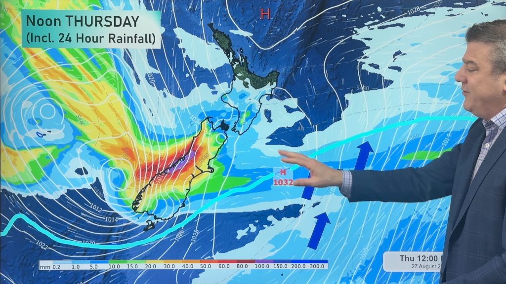
Heavy rain and heavy snow are both forecast for the South Island with Westland, Canterbury and Otago looking most exposed to the deluge and potential for white out conditions in some areas as rain turns to snow higher up (Keep up to date with MetService on snow levels and totals – as this set-up means the forecasts may continually adapt to the complex area of low pressure: https://www.weatherwatch.co.nz/maps-radars/warnings).
Heavy rain spills over eastwards with some heavy falls making it to the Canterbury Plains and into Otago. West Coasters have the highest rainfall totals with 300 to 500mm possible, falling as heavy snow in the mountains and that snow level lowering as we go through Thursday and Friday. Your local WeatherWatch and RuralWeather forecasts will show the snow icon where snow is expected to be heavy or settle.
The North Island gets clipped by some of the wet and windy weather – but it will be warmer with north to north-west winds with subtropical origins.
This weekend the rain eases but winds pick up nationwide as a colder/cooler south-westerly flow ramps up – again bringing severe gale (damaging) risks into both main islands. This eases for the start of next week but it will still be a bit windy.
Latest Video
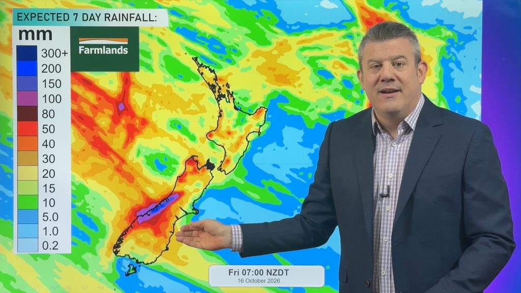
NZ: Instability to produce some wet weekend weather, cold change next week
Afternoon downpours will expand on Saturday with possible isolated thunderstorms as atmospheric instability (due to lower pressure zones east and…
Related Articles
NZ: Instability to produce some wet weekend weather, cold change next week
Afternoon downpours will expand on Saturday with possible isolated thunderstorms as atmospheric instability (due to lower pressure zones east and…
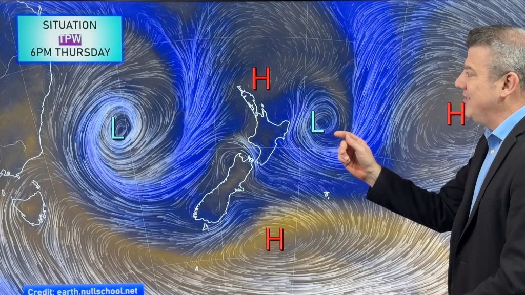
Weekend downpours in both main islands, temps increase
Warmer air will spread over more parts of NZ this weekend but it will come with showers, some downpours and…
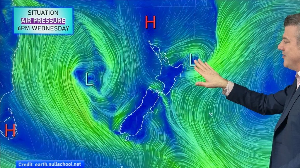
Downpours & showers developing, but still some large dry areas
NZ is between two lows and one big high right now, bringing different airflows into different parts of each main…

