Friday’s national forecast – Nice and settled today (+12 maps)
2/09/2021 4:00pm

> From the WeatherWatch archives
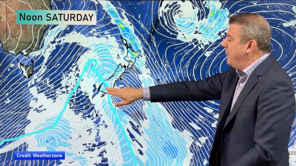
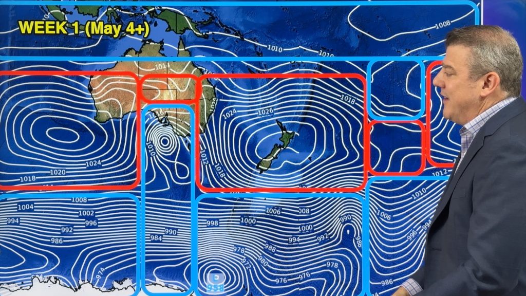
A large anticyclone covers New Zealand today bringing mainly settled weather, it does slip away a touch during the day towards the northeast though starting to let in a northwest airflow over the South Island.
Please refer to your local, hourly, 10 day forecast for more details.
Northland, Auckland, Waikato & Bay Of Plenty
Mostly sunny, some cloud drifts through at times. Showers for Coromandel and Northland though at times especially in the east. East to southeasterly winds.
Highs: 15-16
Western North Island (including Central North Island)
Sunny, any morning fog breaks away. Light winds.
Highs: 13-17
Eastern North Island
Any coastal morning cloud breaks then sunny, Gisborne and Mahia Peninsula may have a morning shower then clearing with sun increasing from afternoon. Light winds pick up from the east to northeast midday onwards.
Highs: 14-16
Wellington
Sunny with northerly winds.
Highs: 14-16
Marlborough & Nelson
Sunny with light winds then afternoon northerlies.
Highs: 15-18
Canterbury
Sunny with light to moderate northeasterly winds across the plains in the afternoon. Further inland winds tend to the north.
Highs: 15-18
West Coast
A mix of sun and cloud, cloud thickens later in the day with a coastal drizzle patch or two forming. Light northeasterlies.
Highs: 14-16
Southland & Otago
Sunny and warm with light north to northwesterly winds.
Highs: 17-20
WeatherWatch.co.nz is proud to be setting the international standard for forecasting in NZ – powered by IBM


Comments
Before you add a new comment, take note this story was published on 2 Sep 2021.


Add new comment
Phil Clements on 2/09/2021 8:46pm
Hi Weatherwatch,
Philip often talks about the large highs at this time of year. What is also interesting is the consistant high pressue with the high pressure systems we are experiencing.
I have records for over 10 years, within this year we have received the highest monthly air pressure recorded for February, March, June, July, August and now September.
The air pressure recorded in July this year was also the highest air pressure I have ever recorded.
Why is it that air pressure is now consistantly higher than it has been in previous years? Is there other records kept that go back over many more years as comparrisons?
It seems high air pressure has been the consistant change in the climate over the last few years, firstly with the continuous number of high pressure systems joining up and now with the strength of the highs, perhaps a clear indicator of climate change in New Zealand.
Reply
WW Forecast Team on 2/09/2021 9:30pm
Morning Phil C, we certainly have seen much bigger highs this year in NZ and the ones earlier in the year were as powerful, if not more powerful, than the ones we have now. There has been quite a strong belt of high pressure in the Southern Hemisphere for many years now – it’s lead to a 10+ year drought in Chile and parts of Argentina and contributed to the drought/dry weather in eastern northern parts of NZ. I can’t tell you why sorry – not sure if it’s natural cycles, climate change or perhaps both combined or something else. Very little science is put into explaining it in our part of the world, especially now that Govt Agency NIWA spends most of their energy competing with MetService now over commercial weather contracts – and little climate discussion (which short changes all NZers on climate science). NZ also has a severe lack of open data – meaning we can’t answer your questions about historic patterns. The Commerce Commission is expected to make a ruling on MetService/Niwa and their mis-use of public data in the coming month (after a 2 year investigation into Anticompetitive Behaviour and Abuse of Markerplace Power by NIWA and MetService). So until things change, our hands are tied at providing (or even accessing) historical data for comparisons…even though it’s entirely tax funded. Sorry we can’t help further!
Cheers
Phil D
Reply