Friday’s national forecast – Front enters the far south (+10 maps)
25/11/2021 3:00pm
> From the WeatherWatch archives
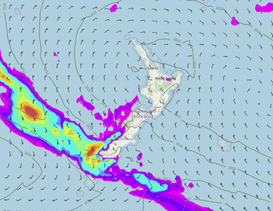
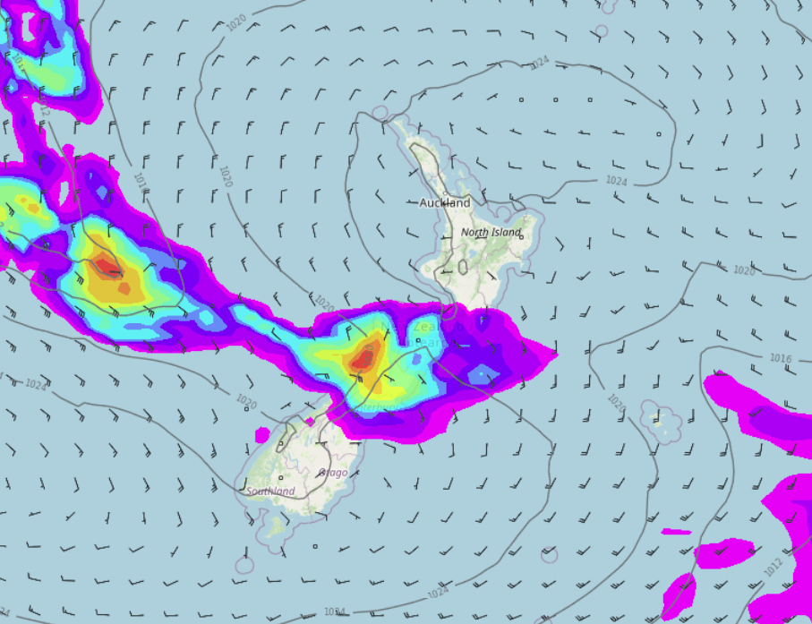
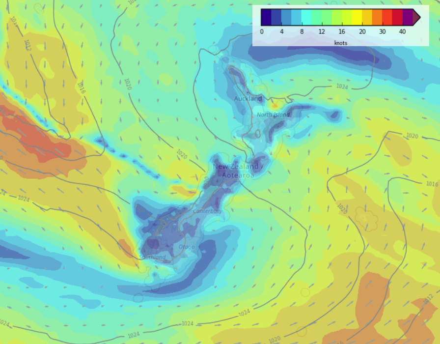
High pressure brings mainly settled weather to the North Island today. Northwesterlies for the South Island bring a few showers in the west, heavy rain about Fiordland, dry and warm in the east.
Please refer to your local, hourly, 10 day forecast for more details.
Northland, Auckland, Waikato & Bay Of Plenty
Some morning cloud, perhaps an early shower then breaking and becoming mostly sunny. Light winds then afternoon sea breezes.
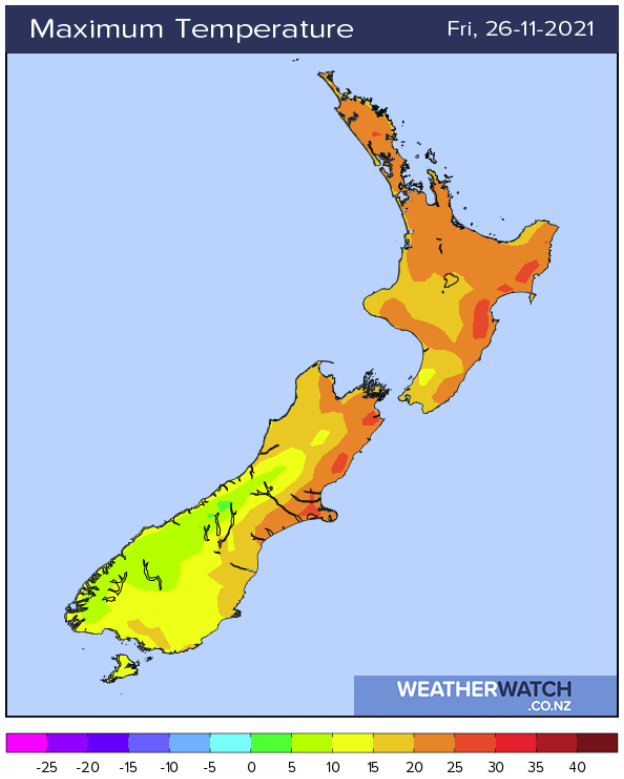
Highs: 21-23
Western North Island (including Central North Island)
Partly cloudy skies, the odd shower or two for Taranaki from midday. Breezy northwesterlies.
Highs: 19-21
Eastern North Island
Mostly sunny with a touch of high cloud, northwesterly winds. Afternoon sea breezes for Hawkes Bay and Gisborne.
Highs: 24-26
Wellington
A mix of sun and cloud, strong to gale northwesterly winds.
Highs: 18-19
Marlborough & Nelson
Mostly sunny with a touch of high cloud, north to northwesterly winds, breezy for Marlborough.
Highs: 22-27
Canterbury
Mostly sunny, there may be a touch of high cloud, northwesterly winds. Overnight winds change to the south with showers starting to push in from the south.
Highs: 21-26
West Coast
Mostly cloudy, rain for Fiordland with heavy falls, the odd shower further north through to about Greymouth. Later in the day or overnight rain spreads northwards along the coast. North to northwesterly winds.
Highs: 15-20
Southland & Otago
Rain develops in the morning for Southland with southerly winds, clearing overnight. Otago has a dry morning with plenty of high cloud, northwesterlies change to the south late afternoon or evening then some scattered rain moves in.
Highs: 15-22
WeatherWatch.co.nz is proud to be setting the international standard for forecasting in NZ – powered by IBM


Latest Video

Tracking the showers & colder changes
High pressure isn’t over NZ, but is nearby – and it’s affecting our airflows and who gets wet weather and…
Related Articles
Tracking the showers & colder changes
High pressure isn’t over NZ, but is nearby – and it’s affecting our airflows and who gets wet weather and…

Westerlies continue, sub-tropical for some
West to north-west winds blow through the South Island and lower North Island today bring heavy West Coast rain and…

Westerly change this week, unsettled but large dry areas
Westerlies kick back in again this week which will bring a break to those in the east as far as…

