Friday’s national forecast – Cold front for the south (+8 maps)
20/05/2021 4:00pm

> From the WeatherWatch archives
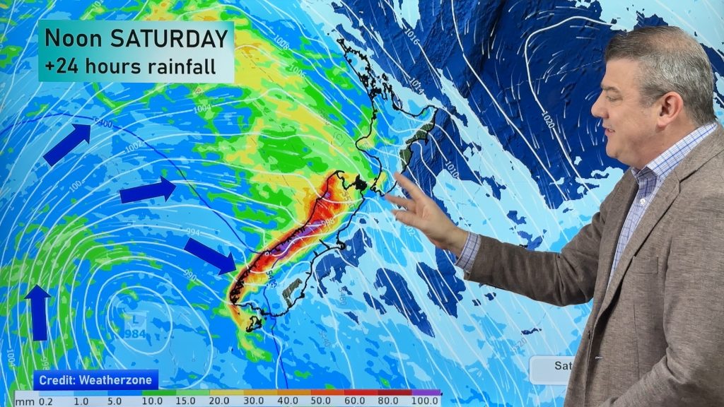
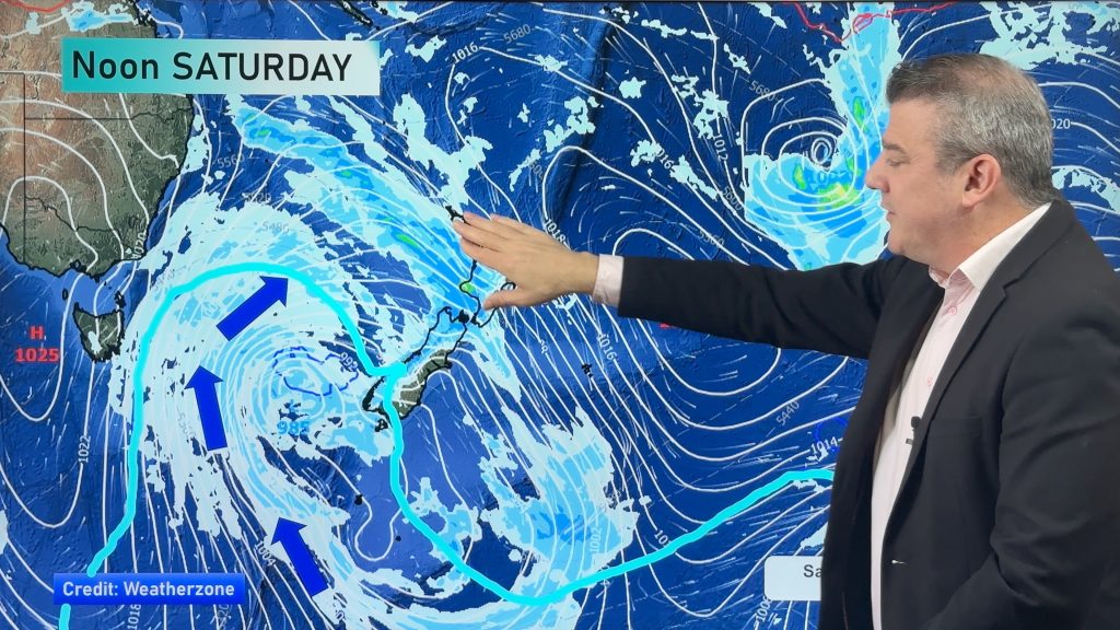
A cold front pushes northwards over the South Island today meanwhile the North Island is under a thin ridge of high pressure.
Some rain for the West Coast and about the far south of the South Island today, a few showers spread into Canterbury this afternoon with a southerly change. Most of the North Island is dry but there could be a shower or two north of about Auckland.
Please refer to your local, hourly, 10 day forecast for more details.
Northland, Auckland, Waikato & Bay Of Plenty
Partly cloudy, chance of a shower or two north of Auckland. Some high cloud spreading in from the north in the evening. South to southwesterly winds.
Highs: 17-20
Western North Island (including Central North Island)
Cloud breaks to afternoon sunny spells, may be a brief morning shower (mainly about Mt Taranaki). West to northwesterly winds.
Highs: 12-18
Eastern North Island
Sunny with light northwesterlies, perhaps a little breezy about Wairarapa. In the afternoon winds tend to the east for Hawkes Bay. Overnight cloud develops with a few showers as winds tend to the south.
Highs: 18-21
Wellington
Morning cloud breaks to sunny spells, a few brief overnight showers as northwesterlies change southerly.
Highs: 16
Marlborough & Nelson
Mostly sunny weather, some late evening cloud as northwesterlies change southerly.
Highs: 17-20
Canterbury
Some morning sun and developing high cloud, an afternoon southerly change brings showers then clearing up in the evening.
Highs: 14-18
West Coast
Rain about South Westland spreads into North Westland by midday, rain eases back to showers in the afternoon as northwesterlies change southwest. Showers clear South Westland in the afternoon, clearing further north in the evening.
Highs: 13-15
Southland & Otago
Morning rain with a gusty west to southwest change, easing to showers by midday then clearing evening, sunny spells start to break through from afternoon. West to southwesterly winds ease later in the day.
Highs: 12-13


Comments
Before you add a new comment, take note this story was published on 20 May 2021.


Add new comment