> From the WeatherWatch archives
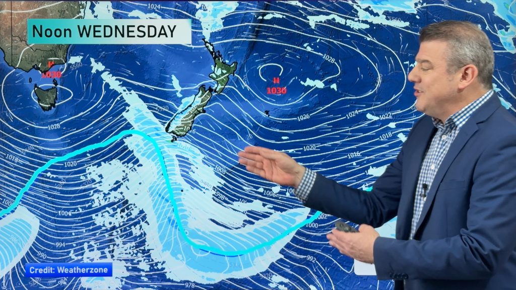
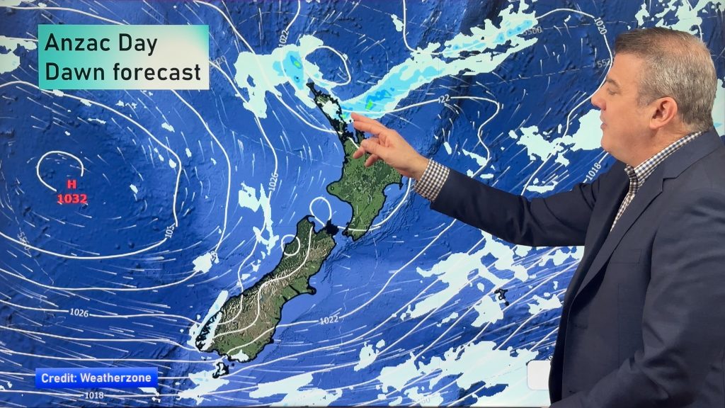
A ridge of high pressure moves onto the South Island today with easing southerly winds. Expect a southeasterly airflow for the North Island.
Northland, Auckland, Waikato & Bay Of Plenty
Mostly cloudy, a few spits possible in the afternoon. Showers are likely in the afternoon for Coromandel, Great Barrier Island, northern Auckland and Northland then easing in the evening becoming restricted to coastal fringe areas overnight. Southeasterly winds.
Highs: 14-16
Western North Island (including Central North Island)
Mostly cloudy with southeasterly winds.
Highs: 9-13
Eastern North Island
Cloudy with patchy showers or drizzle, easing overnight perhaps mostly clearing. Some snow may lower to about 400m for a time by evening before easing. Cold southerly winds.
Highs: 9-12
Wellington
Any morning showers or drizzle clears, mostly cloudy with southeasterly winds.
High: 10
Marlborough & Nelson
Morning showers and snow flurries to 400m clears, sun increases from afternoon. Southeasterly winds.
Highs: 9-12
Canterbury
Morning cloud breaks to sunny areas this afternoon. Southerlies gradually ease.
Highs: 6-8
West Coast
Mostly sunny, some cloud north of about Greymouth may bring a few showers from afternoon then clearing at night. Light easterlies.
Highs: 11-13
Southland & Otago
Any morning cloud clears then sunny, light southwesterlies.
Highs: 6-8
By Weather Analyst Aaron Wilkinson – WeatherWatch.co.nz
Comments
Before you add a new comment, take note this story was published on 13 Aug 2020.


Add new comment