Finally, a significant change in NZ’s weather pattern!
13/02/2017 8:57am

> From the WeatherWatch archives
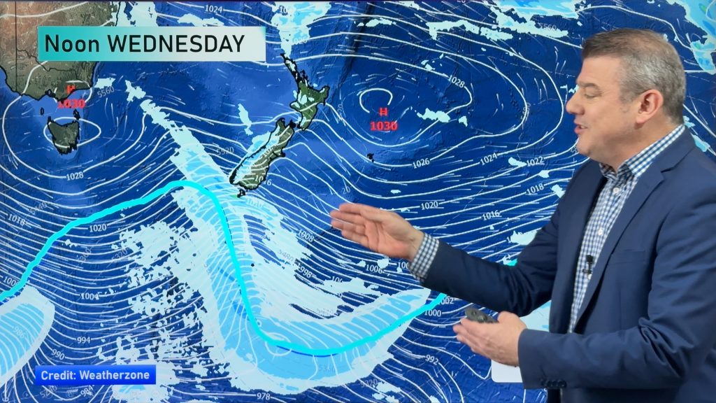
New Zealand’s weather pattern is about to change for the first real time this year, with summer-like weather arriving in the lower South Island, winds easing in Wellington and humid, cloudier, weather setting in across the upper North Island.
At the end of last week we wrote a story about the big change happening in the tropics. For a week now various reliable computer models have been indicating weather conditions north of New Zealand are likely to become much stormier around now with lows expected to form this week.
While a direct hit from a low pressure system looks unlikely at this stage there are still lows likely to form north of us – and this change in patterns around New Zealand means northern New Zealand may well be impacted by more weather connected to the sub-tropics over the coming week or so.
“The biggest change this week is high pressure settling over much of the country, especially south of Taupo, while in the north weather from the sub-tropics is more likely to impact the upper North Island with cloud, humidity, drizzle and the odd downpour”.
By this weekend two large lows are expected just north of New Zealand and may bring flooding rains to Fiji, New Caledonia and Vanuatu. New Zealand is protected by high pressure (stopping these lows from drifting south) but all it will take is a break in the highs for this weather to track south later in Feb or March.
However the high that is about to move into New Zealand mid-week will finally bring summer-like weather to Southland, Otago and the West Coast. At the same time Wellington and the lower North Island are expected to have about 7 days (from this Weds to next Weds roughly) without wet or windy weather.
Some Positive Highlights (granted not everyone may see these as positives!)
- Northland has a chance of rain (a mix of either drizzle, showers, or patchy rain) most days in the next 10 days.
- Gisborne has fewer scorching hot days, with more easterlies and highs in the mid 20s.
- Wellington and Kapiti Coast have winds from the north most days in the next 10, with no gales in the forecast other than today.
- The West Coast, Otago and Southland are expected to be dry, mostly sunny and warm from this Weds to next Tues with highs in the mid to late 20s.

– Image GFS rain map for Fri/Sat shows a reversal on what we’ve been typically seeing this summer, now the rainrisks are for the top of the nation while the south looks dry
– WeatherWatch.co.nz
Comments
Before you add a new comment, take note this story was published on 13 Feb 2017.


Add new comment