Cooler week coming for New Zealand as Australia warms back up (+3 Maps)
10/09/2023 3:39am

> From the WeatherWatch archives
Following a milder than usual weekend (some places 4 to 8 degrees above average for early September) a cooler airflow is moving into NZ.
It’s not a major cold blast, but it will bring some snow to the Southern Alps (up to 20cm on the mountain tops), heavy rain to the West Coast (over 100mm) and some wet weather into the North Island too. A brief dusting of snow is possible on the tops of Mt Ruapehu and Mt Taranaki but it won’t be much.
For newborn livestock windchill will be below zero for a day or so in the deep south and other regions near to Southland. RuralWeather.co.nz has hourly windchill graphs for all locations in NZ (and rainfall).
Incoming cooler air will reset many places to where they should be as we head into mid-September, but some regions may go a few degrees cooler than average over the next 72 hours.
NZ’s incoming cooler air comes from a cold change that moved through south-eastern Australia as part of a significant storm system on Friday. The storm, which was large and centred over/around Tasmania, brought snow flurries to a few hundred metres on the mountains of Tasmania and Victoria. Melbourne was only up to about 11C last Friday as a maximum temperature while the national capital, Canberra, dropped to around -4C yesterday. Severe gales roared through Bass Strait between Tasmania and Victoria with winds over 100km/h last Friday.
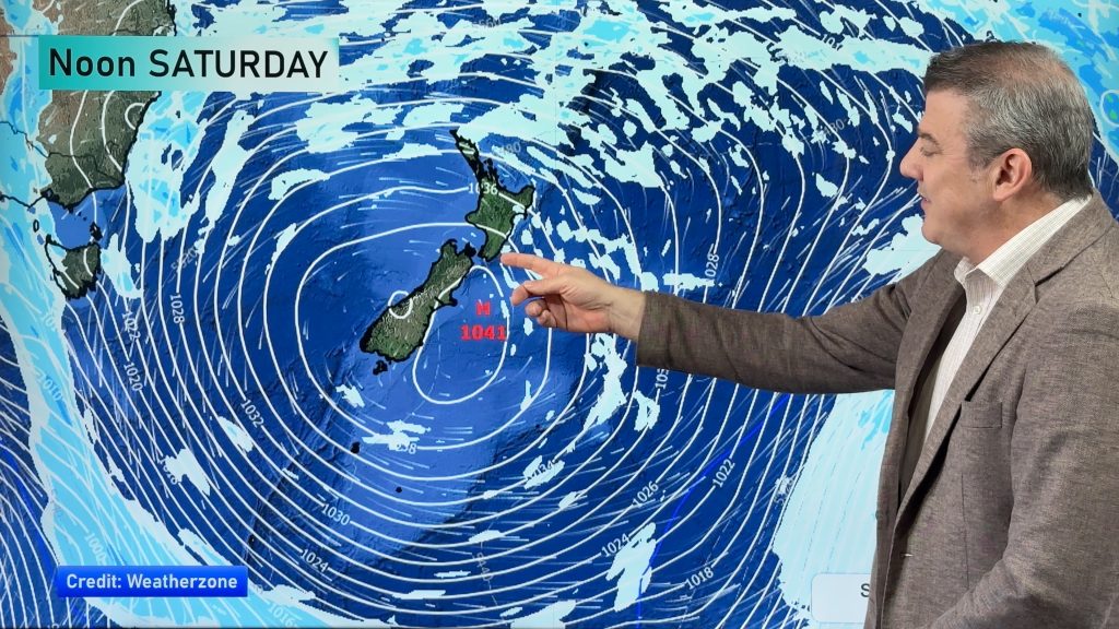
No storm is coming to NZ – the low that brought Australia’s blast on Friday has gone to the Southern Ocean, but the cooler air behind it is moving into NZ this week. On the other hand, Australia is heating up with Adelaide and Melbourne expected to be in the late 20s C by the end of this coming week thanks to northerlies behind a large high moving through.
Milder air flows are also expected back into NZ by next weekend.
Welcome to spring’s ups and downs!


- Full details in our next weather video, out around lunchtime NZST, Monday September 11.
- Subscribe to WeatherWatchTV – our YouTube Channel – and get notifications the moment we publish them.
WeatherWatch.co.nz
Comments
Before you add a new comment, take note this story was published on 10 Sep 2023.


Add new comment