
Cold front on Saturday, but high pressure growing
30/09/2026 11:47am
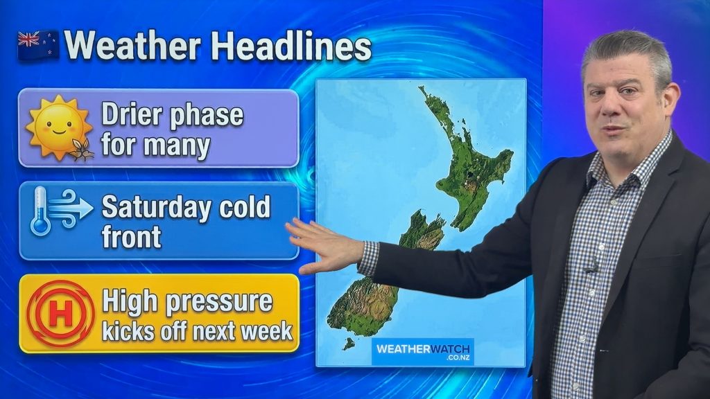
Another cold front comes back into NZ on Friday night and across Saturday – but should be gone by Sunday as high pressure starts to control our weather much more. In fact high pressure builds over the coming days and crosses the country before Saturday’s cold front – then as we kick off next week high pressure should be smack bang over NZ.
This means a break in the windy weather we’ve had over the past monh.
Despite the cold front on Saturday, the polar boundary barely touches most of NZ – so a temperature drop, but not a majorly wintry one.
We have your full forecast through to Tuesday of next week and the 7 day rainfall map to make sense of it all.
Latest Video
Cold front on Saturday, but high pressure growing
Another cold front comes back into NZ on Friday night and across Saturday – but should be gone by Sunday…
Related Articles
Tracking the showers next 7 days
High pressure is partially going to cover NZ this week, but a stormy Southern Ocean means we’re still going to…
High pressure flirts with NZ this week
Monday is another windy and colder day for a number of regions, but high pressure will try this week to…
Snow, gales, frosts and sunshine as spring kicks in
Temperatures will lift up on Saturday ahead of Sunday’s polar change, with Sunday seeing the potential for snow down to…

