
Cold front, low pressure, then windy westerlies kick back in
16/09/2026 11:49am
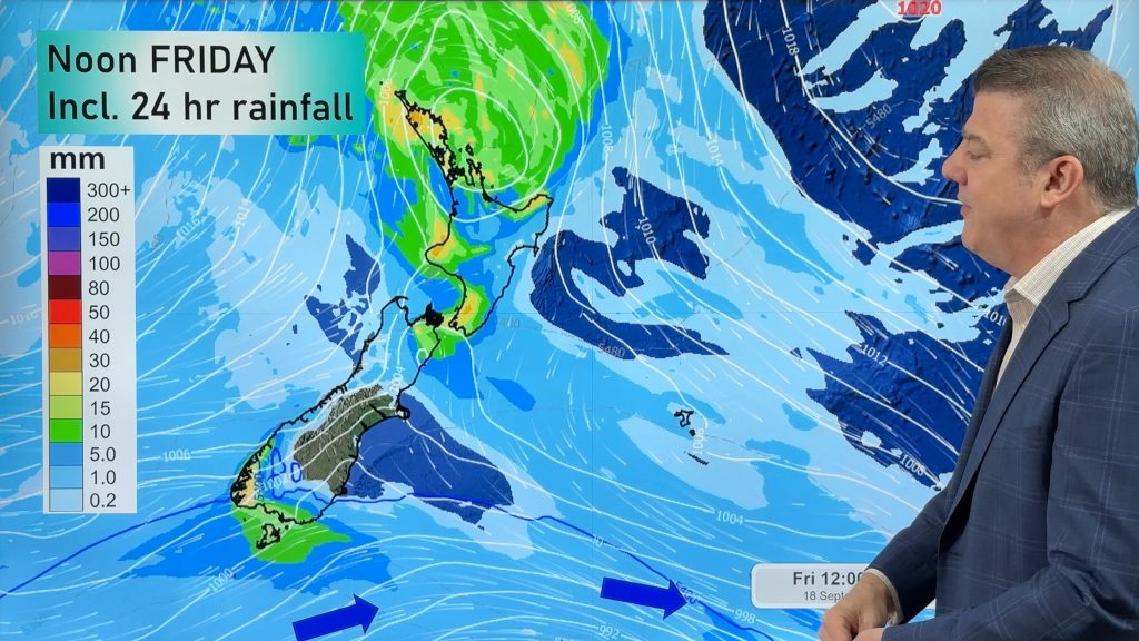
A cold front is today and tomorrow moving into the country, with coldest weather in the southern half of the South Island. Low pressure is also developing to the west of NZ and will brush the upper South Island before then moving over the upper North Island – bringing rain, showers and large dry areas too.
During Friday and Saturday the windy westerlies return to some regions, continuing on into next week too due to some exceptionally powerful storms over the Southern Ocean, creating gales basically over much of the sea south of Tasmania and New Zealand, and brushing the South Island in particular.
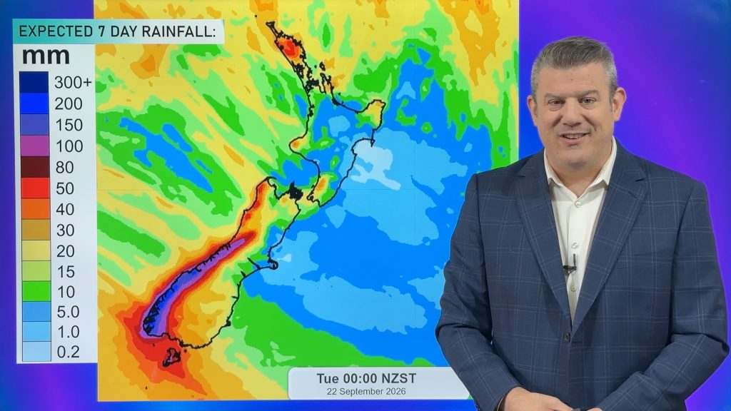
We track it all along with a 7 day rainfall map through to Tuesday next week.
Latest Video
Cold front, low pressure, then windy westerlies kick back in
A cold front is today and tomorrow moving into the country, with coldest weather in the southern half of the…
Related Articles
Cold change coming, northern low too
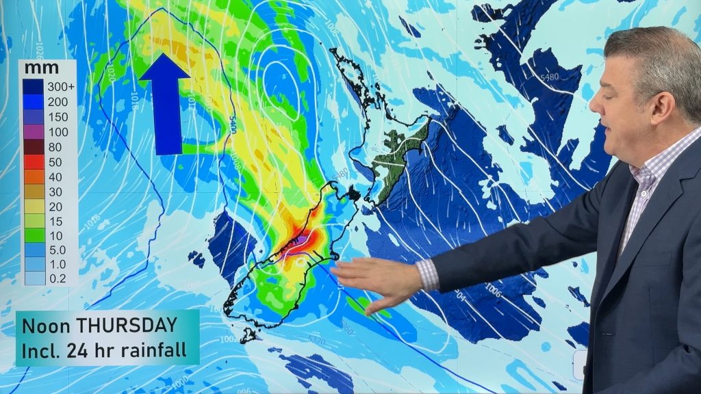
Temperatures will lift today and tonight ahead of a cold southern change tomorrow and Thursday, which will affect the southern…
Next spring blast coming, we track the gales & rain
Many places will become warmer over the next few days, ahead of a cold change mid to late week. Windy…

NZ 8 day: More spring ups & downs
A surge of colder air will affect some places over today, tonight and Saturday morning, before a warmer airflow comes…

