
ClimateWatch: SEPTEMBER & El Niño update
2/09/2026 2:50pm
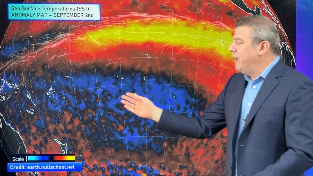
Spring’s westerly winds have arrived and El Niño is likely giving more energy to our spring pattern, bringing an increased risk this month of gales and shots of colder polar air. But the windy westerlies have also started boosting daytime temperatures in the east of both NZ and Australia and as we go through spring and into summer those winds will become hotter.
In true September fashion we have a lot of unsettled weather in the south of Australia and across NZ (especially the South Island and lower North Island) with a mix of warmer days and colder days. El Niño will continue intensifying through spring, likely peaking in late spring or early summer and won’t ease properly until Autumn 2027.
Rainfall coming up is widespread for the western side of NZ’s South Island and the western side of Tasmania. Elsewhere rain and showers come in bursts with longer dry spells in between. Driest areas look to be just north of NZ and into Queensland, with high pressure often there, encouraging westerlies for NZ and the south-east corner of Australia. The eastern side of NZ will also lean drier due to the westerly flow dominating.
There are some signs high pressure will sink further south this month for Australia, easing those windy westerlies at times – but still affecting NZ and possibly Tas and exposed south-eastern parts of Australia. We also track the Indian Ocean Dipole (IOD) and the Southern Annular Mode (SAM) over the next few weeks ahead.
ClimateWatch is a monthly video update covering the general weather patterns and climate drivers around the Southern Hemisphere, with a focus on NZ and Australia in particular.
Latest Video
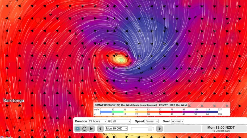
Tropical Cyclone WATI forms, heads to Aitutaki & southern Cook Islands
A Tropical Cyclone has formed before the South Pacific Cyclone Season has even officially started (Nov 1) as El Nino…
Related Articles
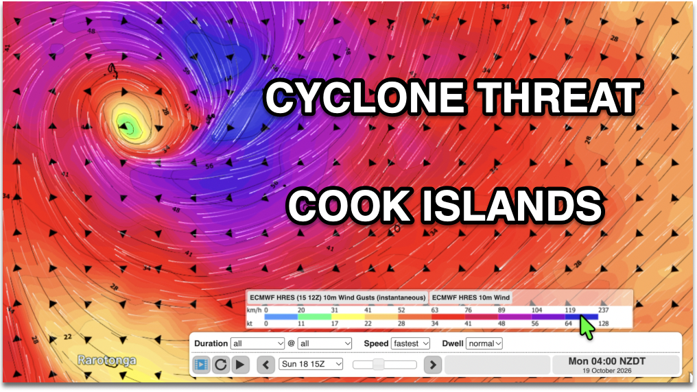
Cook Islands: Tropical Cyclone Developing
Official weather authorities say there is a “high” chance a tropical low will become a cyclone this weekend. Both the…
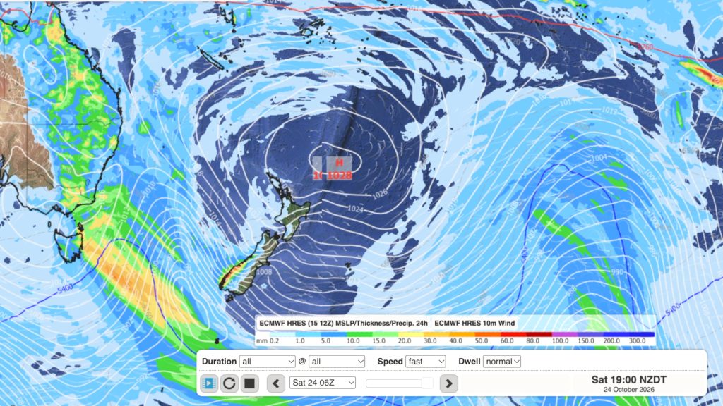
Dry weather coming, Labour Weekend may be stormy
High pressure is moving in to NZ, or at least trying to, with it likely parking itself over the Tasman…
Southerly change, T-Storms & Frost risks
Low pressure continues to cross NZ today, potentially bringing a few thunderstorms with it overnight and into Friday for the…

