ClimateWatch: FEBRUARY outlook as highs & lows mix up a bit
1/02/2026 11:26pm
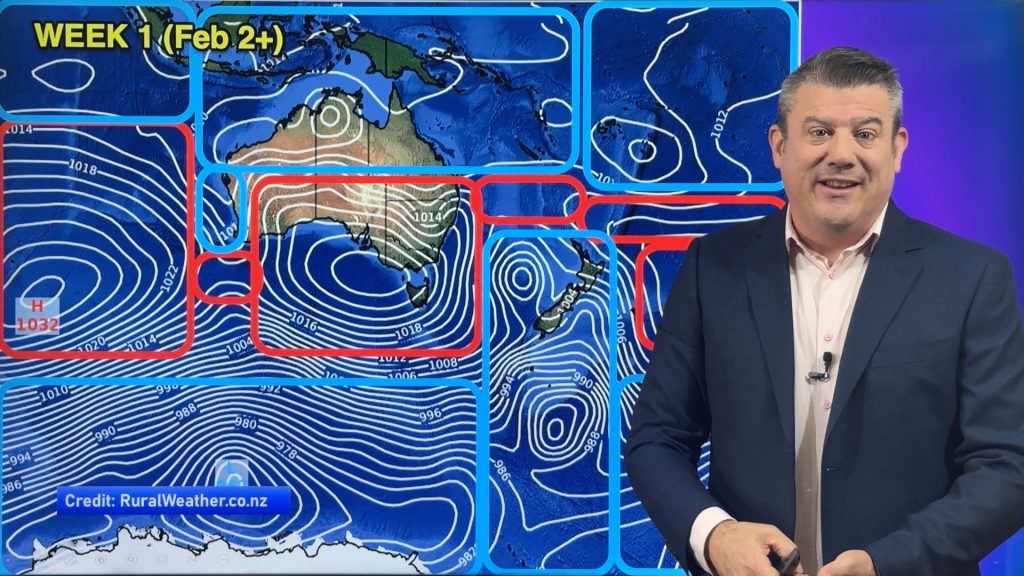
The high pressure belt is a bit broken this month, as it was last month, meaning there will be further temperature ups and downs across New Zealand and southern/eastern Australia in particular. When high pressure is continuous – ie, one anticyclone after the other – that can lead to drought, but when they are broken up it can bring low pressure zones in between and temperature fluctations.
Parts of NZ may enjoy some drier weather (following the floods and landslides in January). The tropics is still busy – with plenty of low pressure zones – and there is a possibility of a tropical cyclone somewhere north of NZ going into the middle of the month, athough that far out it cannot be confirmed.
Phil explains how we’re in the peak of the cyclone season now – and why a broken high pressure belt can make for chances of tropical low pressure to drop southwards, but the timing of a break in high pressue has to also line up with a tropical storm being north of us.
The forecast is a bit messy for NZ and Australia with showers and varying winds – but still some decent stretches of “summer weather” that people most associate with February.
La Nina is still with us – but may be gone by the end of the month as we shift back towards neutral.
This is not a climate change video – it’s tracking the weather patterns that shape our short term climate over the month ahead.
Latest Video
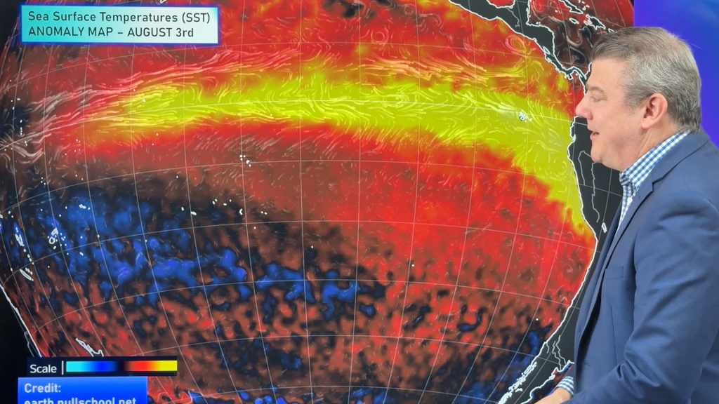
ClimateWatch: AUGUST outlook & El Niño update
El Niño continues to intensify and will do so right through to the end of our spring in NZ and…
Related Articles
ClimateWatch: AUGUST outlook & El Niño update
El Niño continues to intensify and will do so right through to the end of our spring in NZ and…
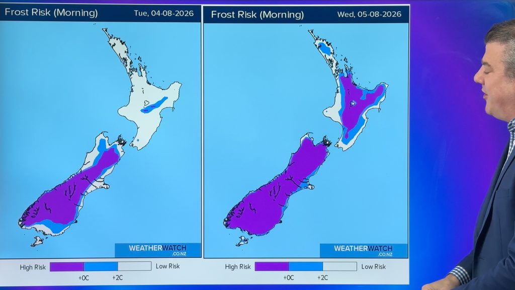
Cold frosty southerly heads north, then high pressure and a weekend change
Another shot of colder air is coming for New Zealand over the next day or two, bringing frosts from the…

Cold weekend, frosts return with high pressure, then a low late next week
The subantarctic airflow spreads over NZ today/tonight and into Saturday, dropping temperatures nationwide. Snow flurries are possible today to lower…

