Australia: SA gears up for ‘once in a generation’ rainfall
9/01/2015 1:00am

> From the WeatherWatch archives
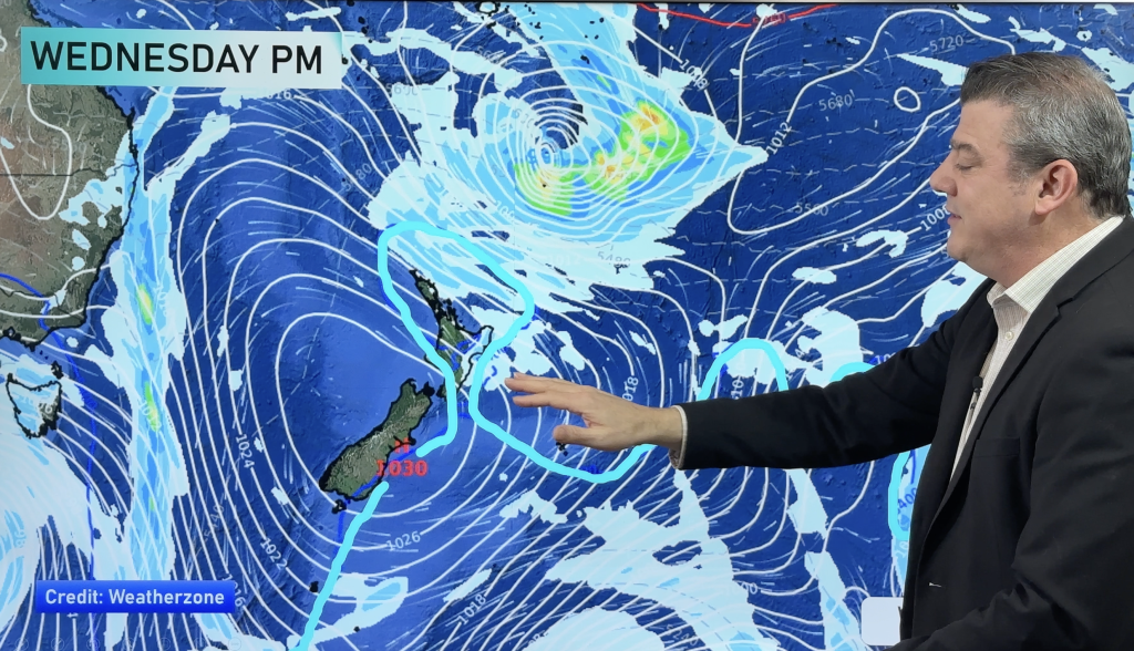
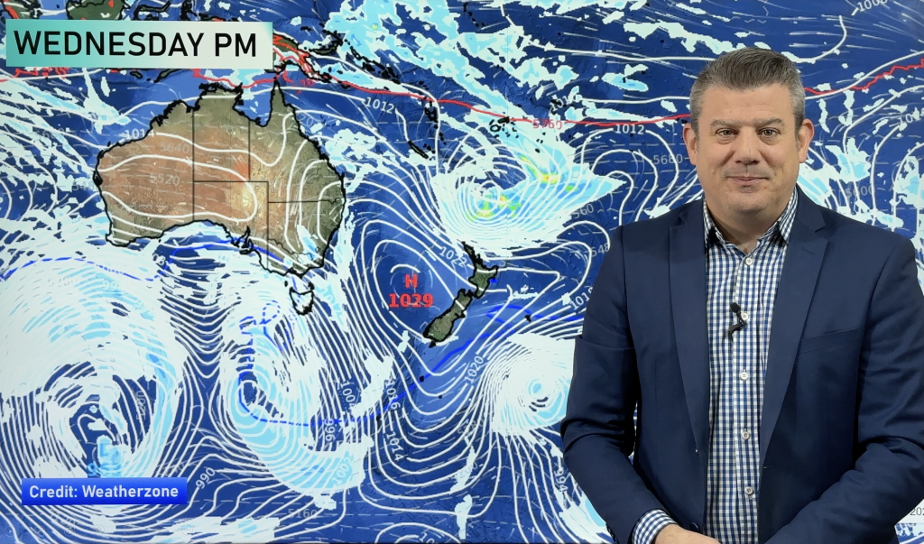
The State Emergency Service (SES) is sending sandbags and swift-water rescue teams into South Australia’s north where a major summer rainband is brewing.
The state could experience its heaviest rainfall in 30 years, the weather bureau has warned, as a system develops over the north and tracks south-east over the coming days.
The biggest falls of up to 200 millimetres are expected over higher areas of the eastern Mount Lofty and Flinders Ranges.
Dermot Barry from the SES said campers in those areas should consider leaving.
“We know from past experience that there’s huge potential for flash floods in those areas,” he said.
“We’d encourage people, if at all possible, to leave early rather than end up stranded or caught in the rain.”
Other areas could get as much as 150mm, with up to 50mm expected in Adelaide.
The weather bureau said the last time the state has seen such a rain event was in 1984 and has issued a flood watch for several districts.
Senior forecaster Matt Collopy said the rain band would develop once a tropical low over the north-west combined with a strong upper trough developing in the west of the state.
“This one certainly has the potential to be quite a rare event,” he said.
“What we’re going to see is a persistent area of high moisture, cloud, showers and then periods of rain and the odd rumble of thunder.
“But a lot of that will depend on exactly how this tropical moisture behaves as it moves down across the Pastoral districts and then along our ranges into those eastern districts over the next couple of days.”
The rain was expected to develop near Coober Pedy and travel south towards the eastern Mount Lofty Ranges.
The bureau’s John Nairn also said there was a possibility the storm could head west rather than east.
“If the low were to contract further to the west, and that is possible in this current environment, we may see heavy rains go down the Yorke Peninsula and into the Eyre Peninsula,” he said.
Storms hit SA as authorities declare bushfire contained
Storms moved across the state today, damping the fire ground in the Adelaide Hills, with more than 38 millimetres of rain falling in Whyalla.
While the rain provided some assistance to crews fighting a bushfire north-east of Adelaide, more than 64,000 lightning strikes fanned by strong winds sparked about 70 fires across the state, but most were quickly extinguished by crews.
Winds brought down trees in parts of the state overnight, and the SES said it had more than 70 calls for help with reports of minor flood damage.
Outages have occurred in the Adelaide Hills, Glenelg, along the far west coast, on Kangaroo Island, and in the state’s far north and south east.
The warning came just hours after authorities announced a bushfire burning north-east of Adelaide had been contained.
The 240-kilometre perimeter of the Adelaide Hills bushfire is now 100 per cent contained and the major emergency declaration has been lifted.
Premier Jay Weatherill has pledged $1 million worth of assistance, while Prime Minister Tony Abbott announced an Australian per child for bushfire victims who have lost their homes or have had their homes severely damaged by the fires.
While the fire has been contained, the Country Fire Service has warned the threat in the area remained with falling trees still a hazard.
About 600 firefighters from New South Wales and Victoria who have helped fight the fire have begun returning home.
About 132 people required treatment from SA Ambulance Service and a number of animals and livestock were killed in the fires.
Although the bushfire does not pose a threat to life or property at this time, people in the area are advised to check and follow their Bushfire Survival Plan and monitor local conditions.
Investigations into the cause of the fire are ongoing as forensic investigators continue to examine a Sampson Flat property, in particular an area surrounding an incinerator.
– Weatherzone/ABC
Comments
Before you add a new comment, take note this story was published on 9 Jan 2015.


Add new comment