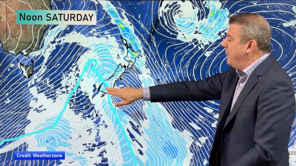
3 Day Snowfall Maps with heavy snow in the south & some flurries to sea level (+4 Maps)
26/09/2020 6:42pm

> From the WeatherWatch archives
Dunedin, Invercargill and Milford Sound all have a chance of snow to sea level in the days ahead with the main Antarctic southerly blast arriving on Monday/Tuesday.
Sunday sees milder weather ahead of the cold change which peaks on Tuesday.
We’ll continue to bring you additional map updates as we get them. Don’t forget, for the largest weather data website in New Zealand for your local area visit www.RuralWeather.co.nz which also has an automatic wind chill calculator. This calculator shows that Southland will have below zero wind chill for around 50 hours starting from tonight.
Latest data suggest 5cms of snow is possible to sea level and 5 to 10cm low down around 100m. Higher up on the hills of Southland and Otago and they may get 10 to 30cms accumulating over the next few days.
Snow will also impact Central Plateau and the surrounding State Highways for a time. 10-15cms looks likely to accumulate there.


- WeatherWatch.co.nz for News, Forecasts and Maps
- RuralWeather.co.nz for NZ’s largest local weather data website – we’ve got your local area covered!
Comments
Before you add a new comment, take note this story was published on 26 Sep 2020.


Add new comment