> From the WeatherWatch archives
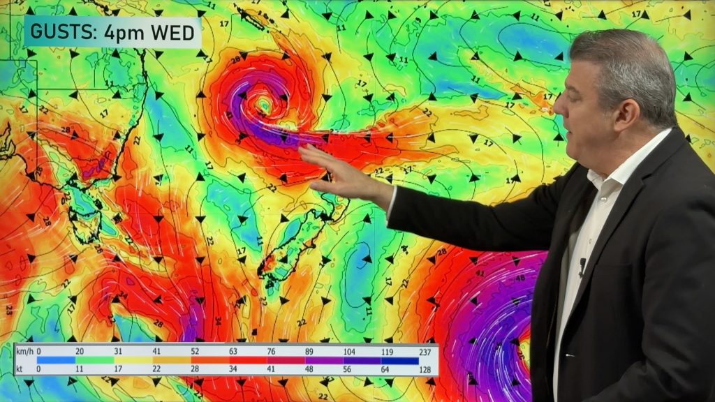
A classic spring set up is on the way next week for our part of the world and a tremendously large area of low pressure will form south of New Zealand while a large area of high pressure forms north of us – resulting in a big strong westerly air flow over New Zealand for next week.
The westerly change arrived yesterday – but will ramp up properly this weekend and next week.
The low pressure forecast south of New Zealand next week really is sizeable – on Monday next week a storm the size of Australia will be centred about 1000kms south of Adelaide. Computer models then show this low spreading out sideways in the Southern Ocean south of New Zealand, expanding in size and absorbing other smaller lows near it.
If this modelling is correct a gigantic area of low pressure spanning 10,000kms across (or 2.5X the width of Australia) will lie south of New Zealand – spinning clockwise and encouraging a westerly over New Zealand.
Big doesn’t equal stormier – but it does mean a greater area of the planet is affected.
At the same time a short but very wide high pressure system(s) will stretch from Perth to Darwin to Cairns to New Caledonia to Fiji – in other words, a belt of high pressure north of New Zealand.
This places New Zealand in between it all in the area known as “the squash zone” – the part of the weather map where all the isobars squash up together.
Traditional spring weather seems to be running half a month late this year – but the westerlies do finally arrive in New Zealand this week and do look to truly kick into gear next week based on the latest modelling. We’ll keep you posted, as in spring things can change quite quickly!

– Sunday’s set up / Weathermap

– Wednesday’s set up / MetOcean
– WeatherWatch.co.nz
Comments
Before you add a new comment, take note this story was published on 2 Oct 2016.


Add new comment