> From the WeatherWatch archives
Early Spring conditions are creeping in to more and more parts of the country, from Queenstown to Auckland, and windier weather coming over the next few days will speed spring up even further, with temperatures surging up to 20 degrees.
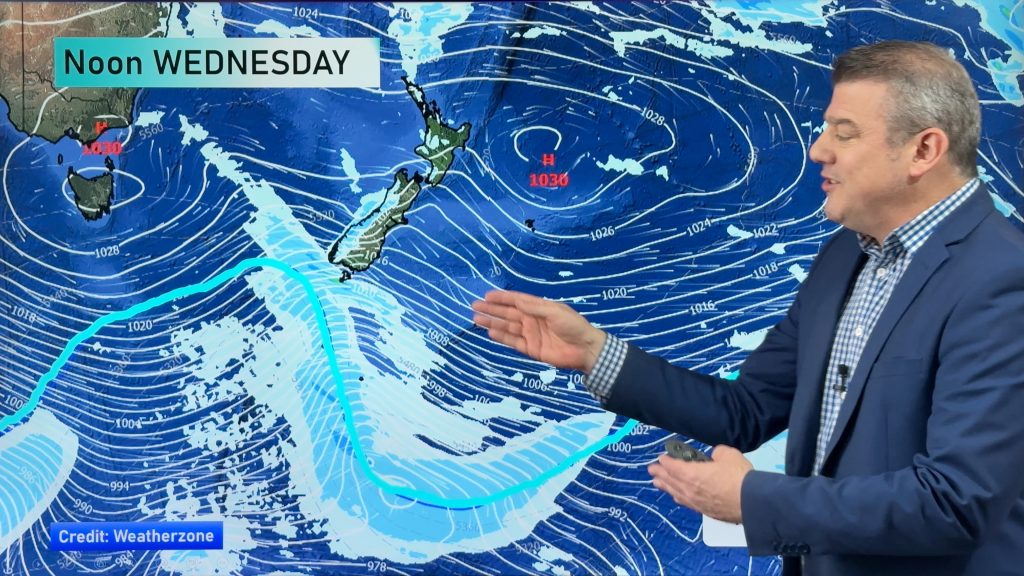
A belt of strong westerlies will surge up across the South Island today – and for the rest of the week.
These strong winds will head northwards too, into the lower North Island into Wednesday PM and Thursday AM.
While the winds will pick up and ease back at times, the next couple of weeks look windier and warmer for many parts of New Zealand – with a brief cold change coming in this Sunday and Monday.
“This warmer, windier, weather should last until the weekend when a brief cold sou’west change arrives” says head weather analyst Philip Duncan. “However by early to mid next week we’re back to milder, windier, conditions from the west again”
Mr Duncan says the public have mostly backed WeatherWatch.co.nz declaring an early spring, with people sending in photos from all over New Zealand via social media showing buds in bloom and lambs and calves being born.
WeatherWatch.co.nz declared this week an early start to spring this year and the incoming windier weather might speed that up further. “An early spring doesn’t mean the cold has finished, in Europe and North America you can have brutal snow storms in spring. Instead spring is defined by life returning: Buds and flowers blooming, lambs and calves being born – that is exactly what we have now”.
South Island based weather analyst Aaron Wilkinson says temperatures this week will be well above average for “mid-winter”.
“On Friday Christchurch will reach 18 degrees with some inland areas nudging 20. But by Sunday a colder southerly will bring that high down to just 8 degrees” says Mr Wilkinson.
However a glance at long range highest and lowest temperatures show a definite warming trend over the next two weeks – but if you’re a skier and boarder don’t be too depressed, snow is in the forecast for ski fields in both islands over the coming 10 days, afterall, the winter chill takes at least another two to three months to fade out.
– Homepage image / File, John Krippner
– WeatherWatch.co.nz
Comments
Before you add a new comment, take note this story was published on 29 Jul 2014.


Add new comment
cupoteacoast on 30/07/2014 10:23am
Is it an early Spring, or is it El Nino kicking in?
Reply