Wild and wooly – Thursday’s situation & outlook
26/11/2014 3:57am

> From the WeatherWatch archives
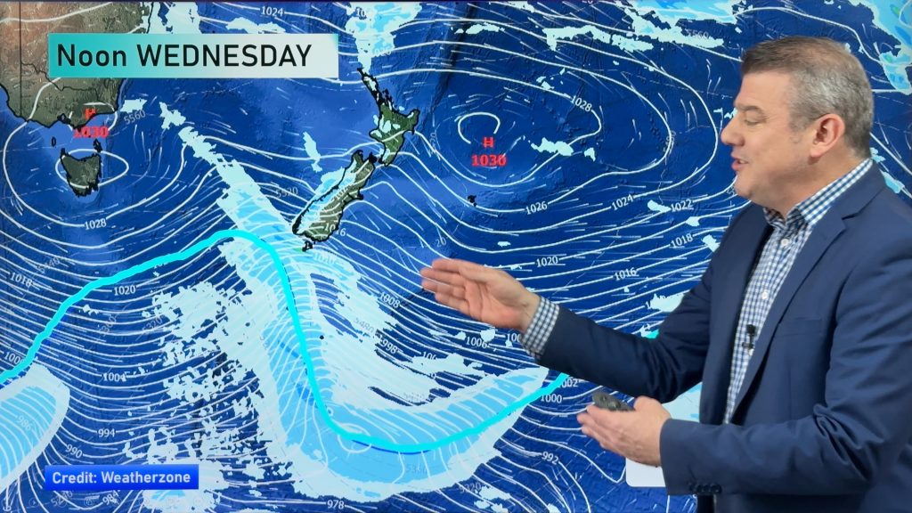
As mentioned in our latest weather video, it’s looking again like another day of strong winds around the country, with only the northern half of the North Island escaping with calmer conditions.
North Island
Eastern regions will stay dry for the most part, as will Auckland, Northland, Bay of Plenty, Waikato and the Central North Island.
Some cloud and a few showers may move onto western parts of the North Island in the afternoon, everywhere from Taranaki southwards.
There is the chance that one or two showers may break into southwestern parts of the Central North Island for a time, though they won’t stick around if they do make it that far.
Wellington can expect sunny spells and strong northwesterlies gusting to gale at times, along with the chance of a brief shower early to mid afternoon.
The east coast is looking at breezy northwesterlies, strong at times about the Wairarapa with a chance of gale gusts. Winds about southern Taranaki through to Kapiti with be brisk to strong from the west, a chance of gale gusts there too.
South Island
Showers will persist along the South Island’s West Coast for much of the day, starting out as rain for North Westland first thing, before easing in the morning.
Eastern regions see gusty northwesterly winds strong about inland areas, a risk of gale gusts about exposed areas like river gorges – the usual suspects.
Southland will feel the early cold and strong westerlies easeduring the day, while the odd shower will be possible from afternoon.
– Aaron Wilkinson & Drew Chappell
– Map: Google
Comments
Before you add a new comment, take note this story was published on 26 Nov 2014.


Add new comment