Weekend weather headlines (x2): Easter forecast – Update, Frost potential inner South Island
15/04/2022 7:00pm

> From the WeatherWatch archives
Here’s what is making the weather headlines this weekend.
EASTER FORECAST – UPDATE
For today’s forecast please check out the story previous to this one.
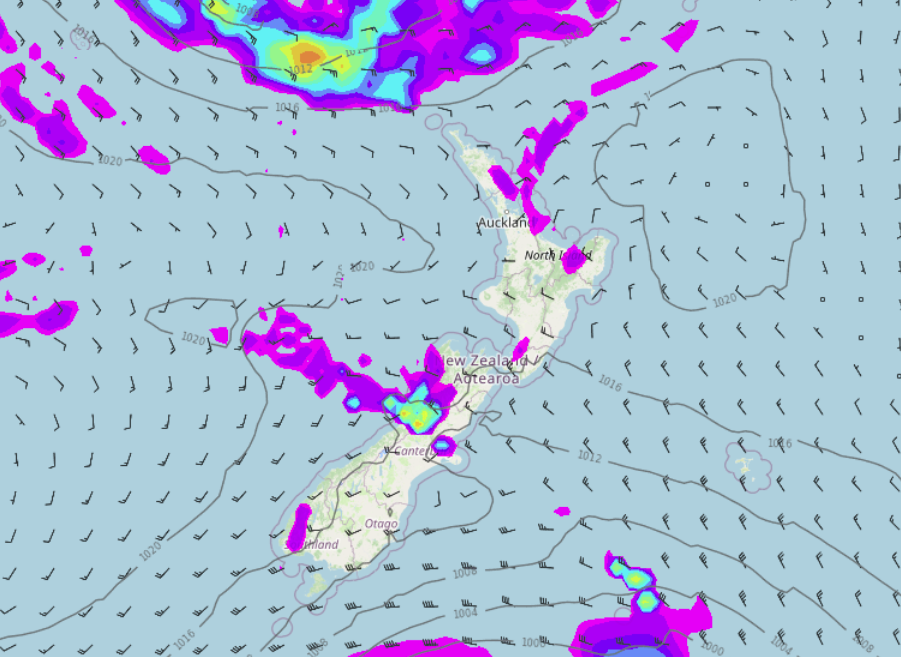
Sunday still has cloud for eastern regions, perhaps a light shower or two especially the eastern North Island, sunnier and drier out west but Coromandel northwards sees showers with breezy easterlies. Some rain may start to appear about northern parts of Northland later in the day or overnight. The western and upper North Island is the warmest with temperatures getting into the early twenties. Some parts of the West Coast are not far behind getting into the late teens. Eastern regions generally sit in the mid teens (eastern South Island) to late teens (eastern North Island).
Cloudy for most of the North Island on Monday with showers or rain for East Cape and also north of the Waikato with easterly winds. The Southwestern corner of the North Island sees some sun though (Taranaki to Wellington). The South Island has mostly sunny weather with any early cloud in the east clearing, Fiordland has some cloud with northerly quarter winds. Perhaps a touch of high cloud lying across the far south also.
For more details on your location this Easter please head to RuralWeather.co.nz and use the search function.
Saturday 3pm 
Sunday 3pm 
Monday 3pm
FROST RISK SUNDAY / MONDAY MORNING INNER SOUTH ISLAND
With a big high pressure system planted over the South Island on Sunday and Monday there is the risk of frosts about inland areas in the morning’s, mainly for the southern half.

Latest Video

Snow, rain showers & cold polar southerlies set to return
Friday will be a wintry day across NZ as the next cold front arrives, bringing snow to lower levels of…
Related Articles
Snow, rain showers & cold polar southerlies set to return
Friday will be a wintry day across NZ as the next cold front arrives, bringing snow to lower levels of…

Frosts, late week rain & another cold weekend coming
High pressure will cross NZ over the next few days meaning more cold nights/mornings with frosts, but a nor’wester will…

NZ: Cold & windy, then calm & frosty
Downpours, some squally with the chance of thunderstorms and even small tornadoes are possible for parts of NZ over Friday…

