> From the WeatherWatch archives
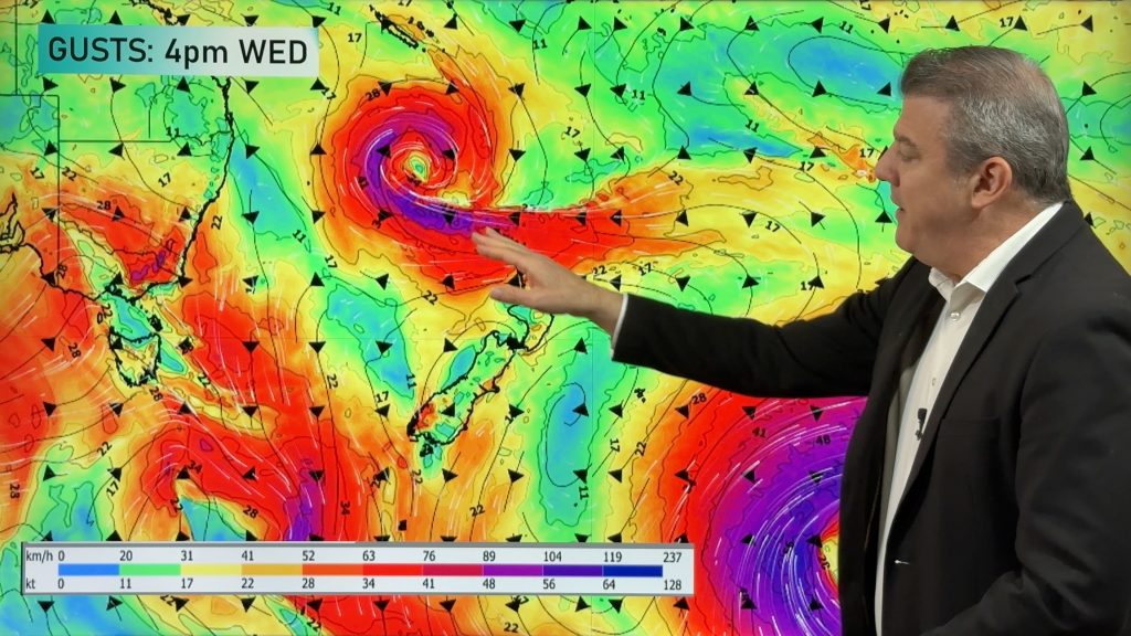
A low is today developing in the central Tasman Sea and is likely to rapidly intensify over the next 24 hours – bringing more rain to regions that could do without it. The rain could become heavy in some areas particularly north facing areas. “Places like Nelson, north Taranaki, Bay of Plenty, Coromandel Peninsula and Northland may all see some heavy falls” says head weather analyst Philip Duncan. “This on top of heavy rains recently means it will not be welcome news to farmers”.
Mr Duncan says the low is going to drag sub-tropical air down over northern New Zealand starting later today. “The air will be humid which will feed the rain clouds, but a silver lining is that temperatures will be up quite a bit over the next two days”.
Auckland’s overnight low is likely to be around 13 degrees on Saturday night with highs possibly in the late teens for some areas such as Northland, Auckland and Bay of Plenty.
Thunderstorms and localised heavy falls are possible around Taranaki and Nelson on Saturday night and into Sunday morning.
“The low is moving west to east which should help limit rain fall numbers” says Duncan. He says because the ground is saturated already slips will be possible across the North Island. “It won’t take a lot of extra rain to cause slips and surface flooding for some sodden areas”.
Strong winds are also likely to develop late on Saturday and into Sunday. “Some exposed places may see winds over 100km/h but I’d expect very little damage at this stage – the low just isn’t looking intense enough”.
By Monday the low is likely to be out in the Pacific Ocean and could fuel further heavy rain into Canterbury and Wellington. There are no indications at this stage that rain will be heavy enough to cause any flooding across flood ravaged farms in the South Island.
“This system is quite different to the one that brought flooding to much of New Zealand in July. It’s smaller, it’s faster moving and it’s moving in a different direction. Normally a low of this nature wouldn’t be of concern but following such a wet two or three months any addition rain is a worry”.
Comments
Before you add a new comment, take note this story was published on 21 Aug 2008.


Add new comment