> From the WeatherWatch archives
The final weekend of June is already upon us and the forecast for the weekend matches the weather from the past week with a varierty of conditions – but overall things will be settling down for a brief time.
A front will cross the country overnight tonight kicking off Saturday with a south west flow across the nation which will turn more north westerly in the lower South Island as the day goes on – and will ease back in the North Island by the end of the day.
A few remaining showers may exist on Saturday, especially in coastal areas, but the forecast is for mostly dry weather across the day.
Sunday in the North Island will be calm with morning fog patches for some inland areas a high rolls over the island
In the South Island Sunday will see winds from the north to north west rising to gale force (but bringing mild weather to the east) while clouds will thicken on the West Coast with rain developing – heavy later.
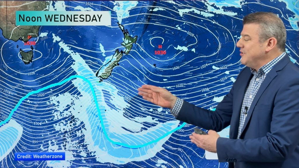
“Basically we’re in between systems this weekend, with the windy and wet weather from this week fading out on Saturday morning over the North Island but the next system will build conditions over the lower South Island later on Sunday” says head weather analyst Philip Duncan.
By Monday a slow moving front will bring a narrow band of heavy rain to western areas and central New Zealand – including the Nelson region.
A belt of nor’west gales are also expected around eastern and central parts of the country on Monday.
“Generally speaking conditions remain mild for this time of the year with temperatures mostly above average across the country on Sunday and/or Monday” says Mr Duncan.
– Homepage image / Clouds over Auckland, Zelda Wynn
– WeatherWatch.co.nz
Comments
Before you add a new comment, take note this story was published on 26 Jun 2014.


Add new comment