> From the WeatherWatch archives
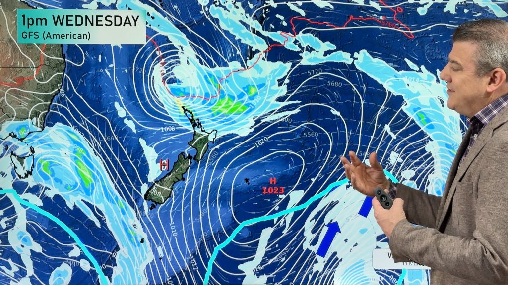
In contrast to previous weeks, the wind came in from the southwest for much of the week and cold, showery conditions particularly affected the country, the further south you went.
Tuesday saw the arrival of the first considerable cool change bringing with it strong and cold southwesterly winds accompanied with hail and thunder in some eastern and southern areas. A dusting of snow also wasn’t an uncommon site in the deep south.
Temperatures dropped considerably throughout the week and gave us the first real taste of autumn and for some, a sample of winter 3 months early! Maximums didn’t top double figures in some cases on Wednesday and oddly enough the mercury rose back up into the 20s in eastern areas on Thursday as the wind subsided.
Friday saw the return of cool and breezy conditions over parts of the mainland with sou’ westers making themselves known once again.
The North Island didn’t fare as badly as their southern neighbours in the main but chilly nights and a crisp day or 2 was noticeable.
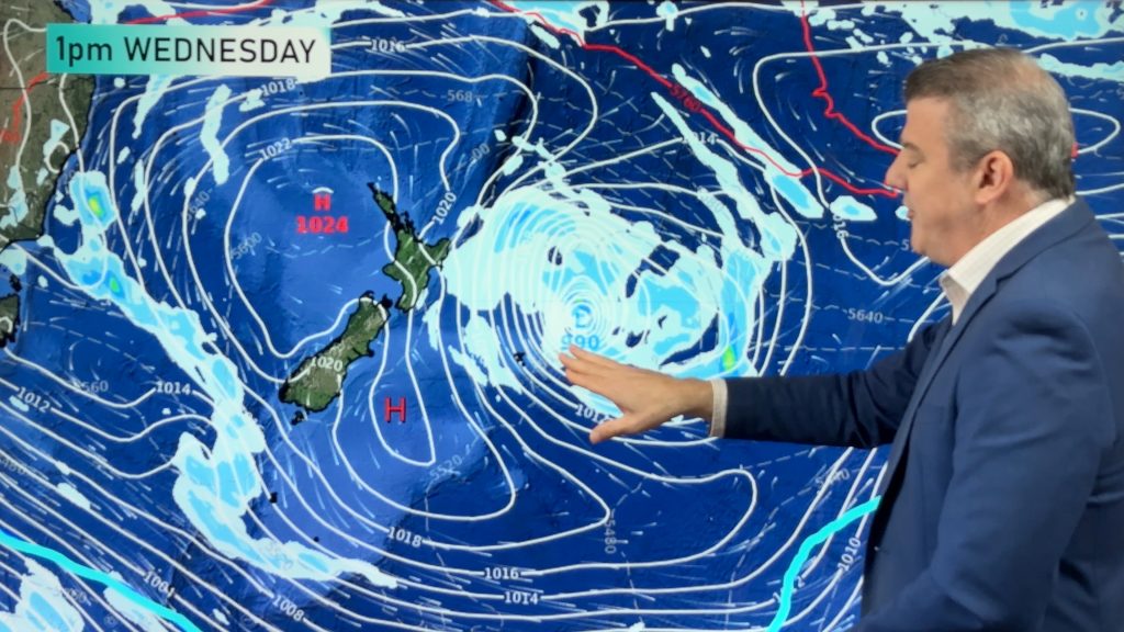
This weekend generally looks more settled as an anticyclone establishes itself. There’s a chance of a little liquid sunshine in the far north but for most of us, settled and sunny conditions should make a lovely autumnal weekend.
Weather Analyst – Richard Green
Comments
Before you add a new comment, take note this story was published on 13 Mar 2009.


Add new comment
Andrew on 13/03/2009 6:34pm
Hey Richard just letting you guys know we have thick fog here in Northcote this morning… Must be Autumn!!!
Andrew
Reply
WW Forecast Team on 13/03/2009 7:02pm
Thanks Andrew and hopefully it’s lifting now!
Cheers
Richard
Reply