> From the WeatherWatch archives
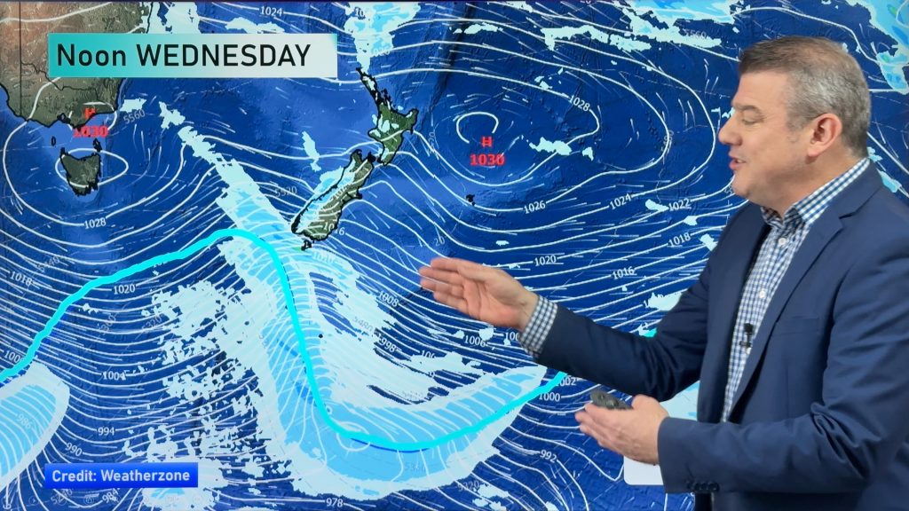
The weather goes through a rough patch today before clearing up for New Years Eve, then on New Years Day conditions deteriorate especially over the North Island. However we’ll just focus on today here for now.
A southerly airflow spreads over the South Island this morning, cloud moves northwards along the east coast and with it comes showers and perhaps some rain for a time about Canterbury late afternoon / evening mainly inland. Before this southerly reaches the likes of Nelson and Marlborough conditions will be fairly settled here, just watch about inland areas as cloud builds in the afternoon this could result in a few heavy showers which would then ease in the evening.
The West Coast of the South Island sees morning cloud and a few showers about South Westland, otherwise fairly dry for areas right on the coast for much of the day. Not far inland about the alps showers push in during the afternoon then clearing later in the evening.
The North Island sees cloud build in the west this morning, showers move in for many by midday possibly becoming heavy in the afternoon with a thunderstorm or two then easing later in the day. Thunderstorms and the odd downpour if they occur are more likely about the Waikato, Taranaki, Central North Island and perhaps Bay Of Plenty. Due to the nature of these showers it could be a little hit and miss for some.
Mainly dry elsewhere for the North Island with a touch of high cloud, winds are mainly light. A few showers may spread into the east coast (Gisborne through to Wairarapa) overnight.
WeatherWatch.co.nz
Comments
Before you add a new comment, take note this story was published on 29 Dec 2015.


Add new comment