Wednesday’s weather headlines (x3): Some cloud in the south, Hamilton you win again, Heavy rain possible West Coast Friday
8/03/2022 6:00pm

> From the WeatherWatch archives
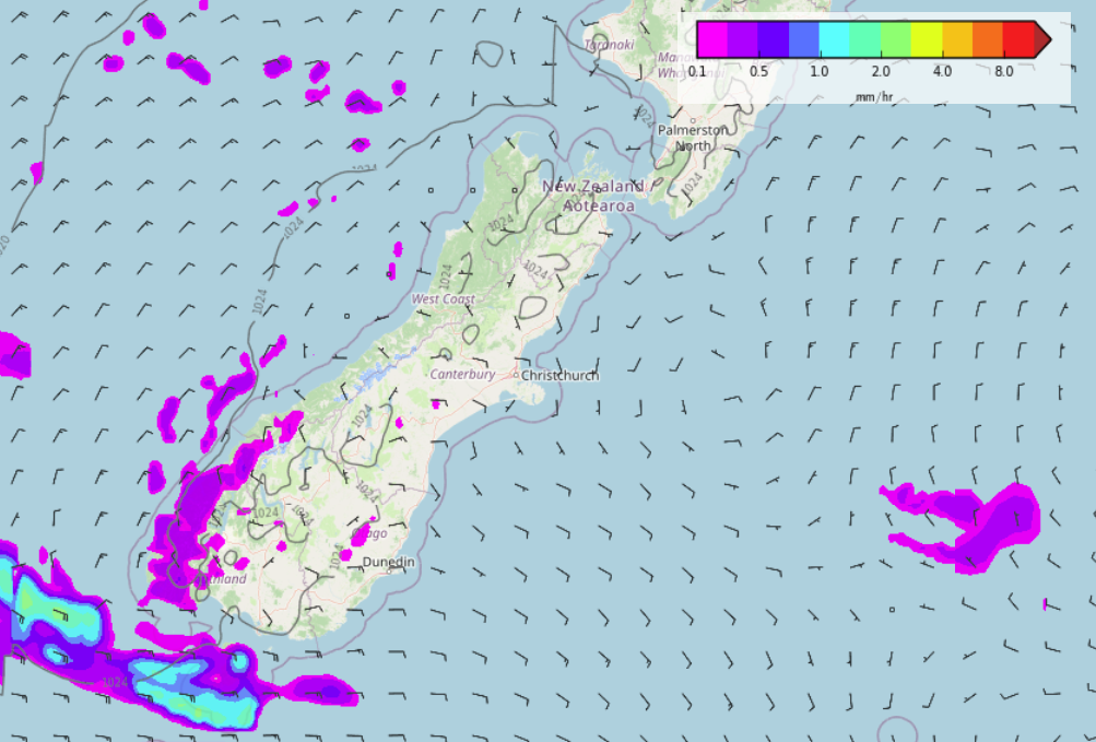
SOME CLOUD IN THE SOUTH AND EAST OF THE SOUTH ISLAND
A frontal zone lies just to the south of the South Island today, the right hand portion of the front is a cold front which pulls away to the east offshore but as it moves away it flicks a southerly quarter airflow up the east coast. With this comes some cloud and perhaps even a very light drizzle patch about the Canterbury foothills for a time this afternoon or evening. Southland has a few showers which clear away this afternoon.
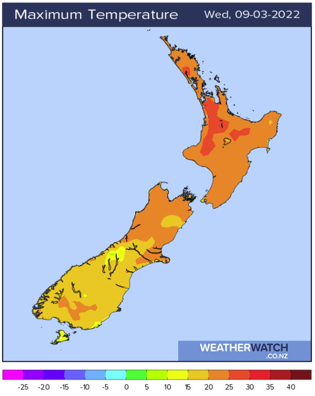
YESTERDAY WAS WARM IN THE WAIKATO, CONGRATULATIONS YOU WIN AGAIN
Yesterday saw temperatures lift up to between 26 and 27 degrees in the afternoon for Hamilton, more than likely one of the warmest spots around the country. Well hold onto ones horses because more warm weather is what the doctor ordered. A high of 27 or perhaps even 28 is likely this afternoon. And while we are at it, it’s looking to stay warm through to early next week with high’s in the mid to late twenties set to continue in the Tron.
RAIN FOR THE WEST COAST MAY BE HEAVY ON FRIDAY
As a front pushes northwards over the South Island on Friday, rain for the West Coast may be heavy. In the grand scheme of things it doesn’t look like anything the West Coast can’t handle but it may be something to watch in terms of rivers or streams that may rise. Haast looks to have around 50-60mm of rain in the forecast over Friday and Saturday. The bulk of this falls on the Friday in the window between midday and midnight with 30-40mm expected.

Latest Video

More heavy rain, snow – but large dry areas, especially as we go into the long weekend
Heavy rain will continue for parts of Canterbury and Marlborough over the next day or two and it will gradually…
Related Articles
More heavy rain, snow – but large dry areas, especially as we go into the long weekend
Heavy rain will continue for parts of Canterbury and Marlborough over the next day or two and it will gradually…

Large low brings rain, downpours & some snow – gets colder as the week progresses
Low pressure will cross the upper North Island in the days ahead and that set-up actually pushes more heavy rain…

WeatherWatch App launches real-time local lightning tracker!
A bolt out of the blue! WeatherWatch has launched a live, real-time lightning tracker, enabling Kiwis to gain access to data provided by the…

