
Large low brings rain, downpours & some snow – gets colder as the week progresses
6/07/2026 12:26pm
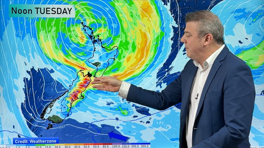
Low pressure will cross the upper North Island in the days ahead and that set-up actually pushes more heavy rain into the eastern South Island then moves into the eastern North Island.
Driest weather will be in Westland and Fiordland.
We track where the heaviest rain will be (North Canterbury to Marlborough) where slips and flooding are possible over the next 48 hours. Some of this heavy rain may also brush Wairarapa and and the lower North Island.
As we go through the week the polar boundary slides further northwards bringing colder air – but there will be some large sunny areas in the mix too.
📡⚡️⛈️Also, we are proud to have launched the NZ lightning tracker! You can view it and read more about it here: https://www.weatherwatch.co.nz/content/weatherwatch-app-launches-real-time-local-lightning-tracker
Latest Video
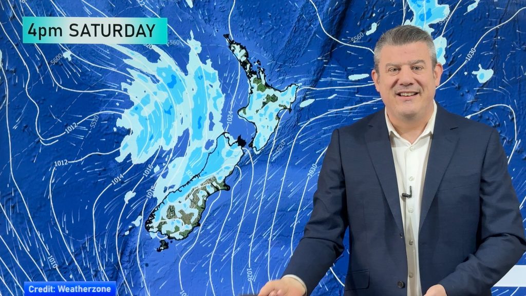
Showers increasing next 7 days
Large dry skies are affecting much of NZ but a system exiting Australia today will affect our weather in the…
Related Articles
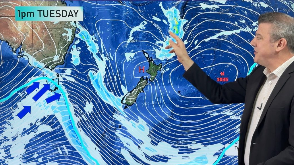
NZ 10 Day Forecast: Highs & lows in the mix
Despite an uptick in high pressure this week we still have lows and cold fronts trying to move our way…
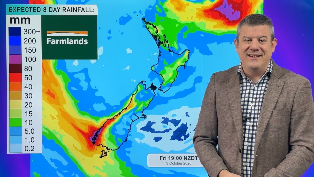
Cold front this weekend, high pressure for next week
A cold front is moving into the South Island tonight and then moves up the country over Saturday and Sunday,…
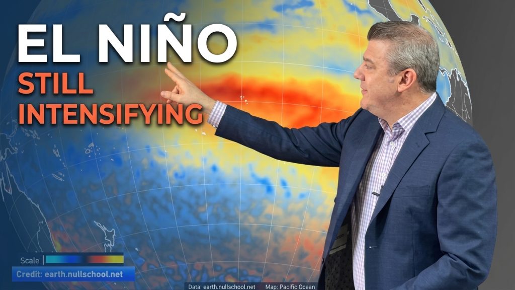
ClimateWatch: El Niño strengthens, OCTOBER update
El Niño continues to gain more power in the tropical Pacific and this is now affecting the weather pattern around…

