Your web browser (Internet Explorer) is out of date. Some things will not look right and things might not work properly. Please download an up-to-date and free browser from here.
5:27pm, 12th April
Home > News > Wednesday’s national forecast R...
Wednesday’s national forecast – High pressure expands
21/06/2022 12:00pm

> From the WeatherWatch archives
A high pressure system over the South Island expands over the North Island today, conditions are mainly settled with showers about the eastern North Island clearing overnight.
Northland, Auckland, Waikato & Bay Of Plenty
Mostly sunny, some cloud at times in the east with the risk of a shower (Coromandel through to eastern Northland), southeasterly winds.
Highs: 12-15
Western North Island (including Central North Island)
Morning cloud clears then sunny, southeasterlies die out in the evening.
Highs: 7-13
Eastern North Island
A few morning showers clear Wairarapa, clearing further north in the evening. Southerly winds.
Highs: 11-13
Wellington
Some morning cloud then breaking to a mostly sunny afternoon, south to southeasterly winds ease during the day.
High: 12-13
Marlborough & Nelson
Sunny after a frosty start, light winds.
Highs: 8-12
Canterbury
Sunny after a frosty start, light winds.
Highs: 3-11
West Coast
Sunny with light winds, some high cloud for Fiordland.
Highs: 8-12
Southland & Otago
Sunny after a frosty start, perhaps a mist or fog patch first thing then clearing away. A touch of high cloud, mainly later in the day. Light northerly winds.
Highs: 5-9
Comments
Before you add a new comment, take note this story was published on 21 Jun 2022.
Latest Video
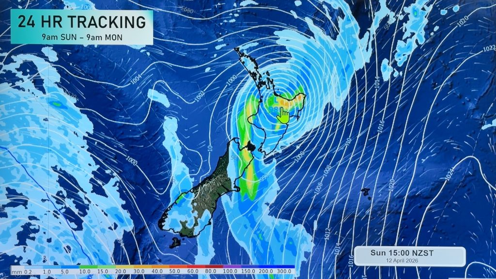
NZ (SUN): Cyclone Vaianu moves across the North Island
Cyclone Vaianu made landfall in Bay of Plenty this afternoon and is now moving into Hawke’s Bay, with the centre…
Related Articles
NZ (SUN): Cyclone Vaianu moves across the North Island
Cyclone Vaianu made landfall in Bay of Plenty this afternoon and is now moving into Hawke’s Bay, with the centre…
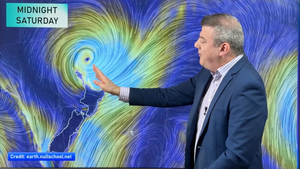
NZ (SAT): Updated forecast for Cyclone Vaianu
We have the latest tracking of Vaianu as the subtropical cyclone moves into the upper North Island tonight, and across…
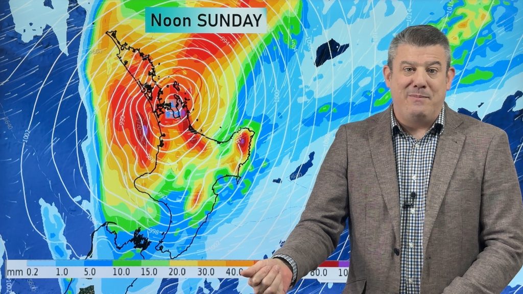
NZ (FRI): Latest cyclone tracking as Vaianu expected to zip over North Island
Cyclone Vaianu will cross the North Island rapidly on Sunday, making landfall somewhere around Auckland to Coromandel Peninsula during the…
Navigation
Follow us on
© 2026 WeatherWatch Services Ltd


Add new comment