
> From the WeatherWatch archives
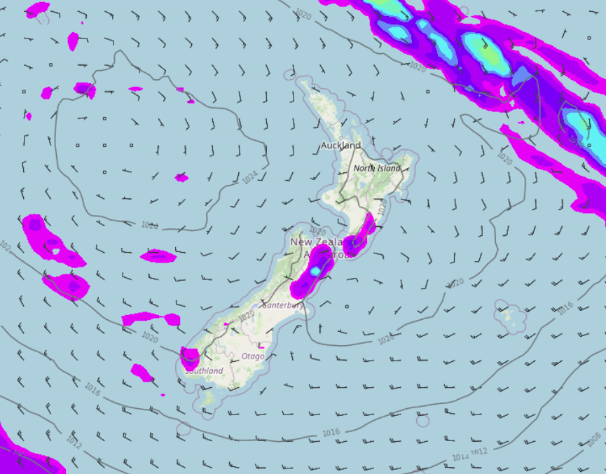
The airflow changes to the southwest over the South Island today then moving over the North Island overnight. Rain or showers in the west and south gradually eases, chance of a shower later today for Canterbury.
Please refer to your local, hourly, 10 day forecast for more details.
Northland, Auckland, Waikato & Bay Of Plenty
A few showers turning to rain during the morning as a cold front moves over, clearing up mid afternoon and some sun breaking through as westerlies tend southwest
Highs: 19-21
Western North Island (including Central North Island)
Early rain eases to showers and sun starts to break through, remaining showers clear in the evening. Breezy west to northwesterly winds.
Highs: 14-18
Eastern North Island
Morning spits or showers, especially about Wairarapa then becoming mostly sunny around midday. Northwesterlies tend a little more to the west in the afternoon.
Highs: 18-25
Wellington
Some cloud, the odd spit or shower. Blustery northwesterly winds die away in the evening.
Highs: 16-17
Marlborough & Nelson
Morning showers clear (mainly for Nelson then mostly sunny, west to northwesterly winds change lighter southwest in the evening.
Highs: 18-21
Canterbury
Mostly sunny then cloud develops from afternoon as northwesterlies change southwest, there may be a shower also mainly later in the day.
Highs: 17-20
West Coast
Showers ease, sun starts to break through from afternoon. Remaining showers clear evening. Westerlies tend southwest after midday.
Highs: 15-16
Southland & Otago
Showers (rain at first for Southland), sun starts to break through from afternoon with showers easing, remaining showers clear evening. Southwesterly winds, fresh about the coast.
Highs: 13-16
WeatherWatch.co.nz is proud to be setting the international standard for forecasting in NZ – powered by IBM


Latest Video

Cold weekend, frosts return with high pressure, then a low late next week
The subantarctic airflow spreads over NZ today/tonight and into Saturday, dropping temperatures nationwide. Snow flurries are possible today to lower…
Related Articles
Cold weekend, frosts return with high pressure, then a low late next week
The subantarctic airflow spreads over NZ today/tonight and into Saturday, dropping temperatures nationwide. Snow flurries are possible today to lower…

Wintry burst of weather: Snow, squally showers then sunshine & frosts
A polar change (another one!) arrives on Friday for the South Island and goes nationwide on Saturday, leaving NZ under…

Antarctic southerly for parts of NZ Fri & Sat
For the first time this year a southerly from off Antarctica is heading towards the South Island, followed by more…

