
Cold weekend, frosts return with high pressure, then a low late next week
31/07/2026 11:11am
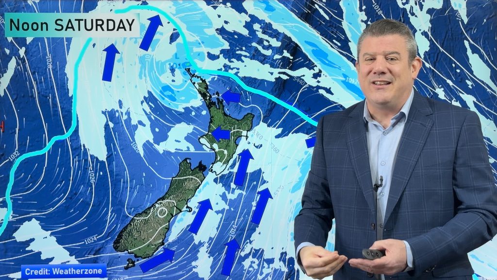
The subantarctic airflow spreads over NZ today/tonight and into Saturday, dropping temperatures nationwide. Snow flurries are possible today to lower levels around Southland and Otago (above 200 or 300m).
As we go into the weekend many regions have dry or mainly dry weather as high pressure builds. This high pressure zone will cover NZ early to mid next week, locking in the cold air and bringing heavy frosts to the South Island and even parts of the North Island. Frosts will likely go north of Auckland for a time.
But next week some areas may get the northerlies returning – ahead of a low pressure zone in the Tasman Sea. It’s not clear yet how this low will impact NZ but it’s likely to bring a change to milder air for a time, especially in the north of NZ.
Have a great weekend!
Programming Notes:
– Our ClimateWatch video update will be out on Monday afternoon taking a look at August and the latest on El Nino.
– We have a special video out about Super Typhoon Dolphin, which may impact Japan, China and Taiwan in just over a week. It’s an especially powerful storm.
Latest Video
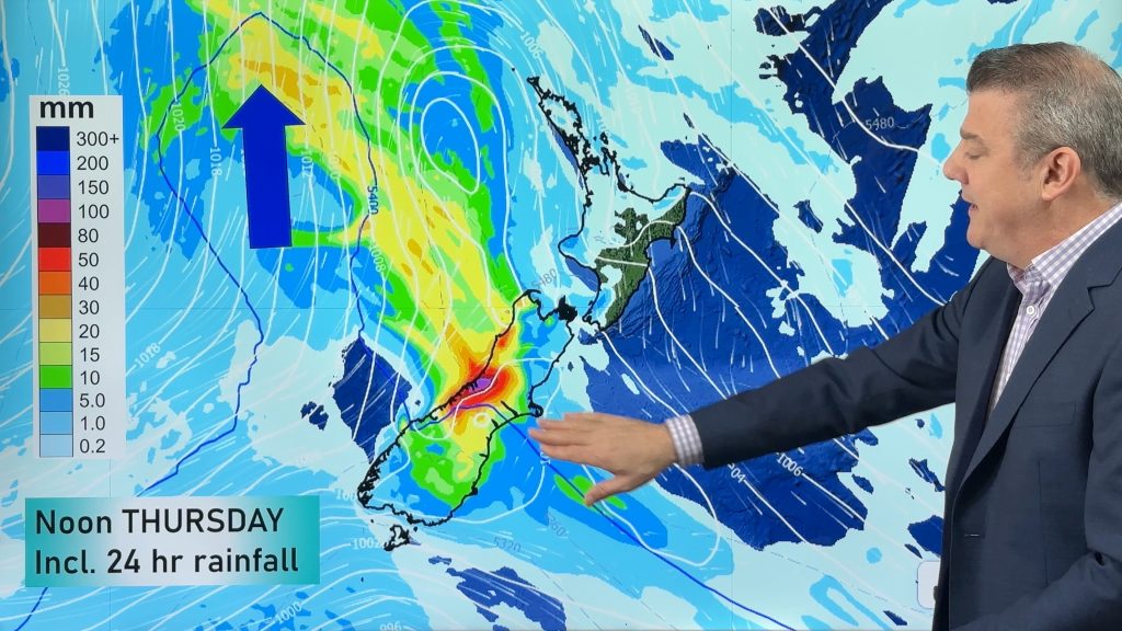
Next spring blast coming, we track the gales & rain
Many places will become warmer over the next few days, ahead of a cold change mid to late week. Windy…
Related Articles

NZ 8 day: More spring ups & downs
A surge of colder air will affect some places over today, tonight and Saturday morning, before a warmer airflow comes…
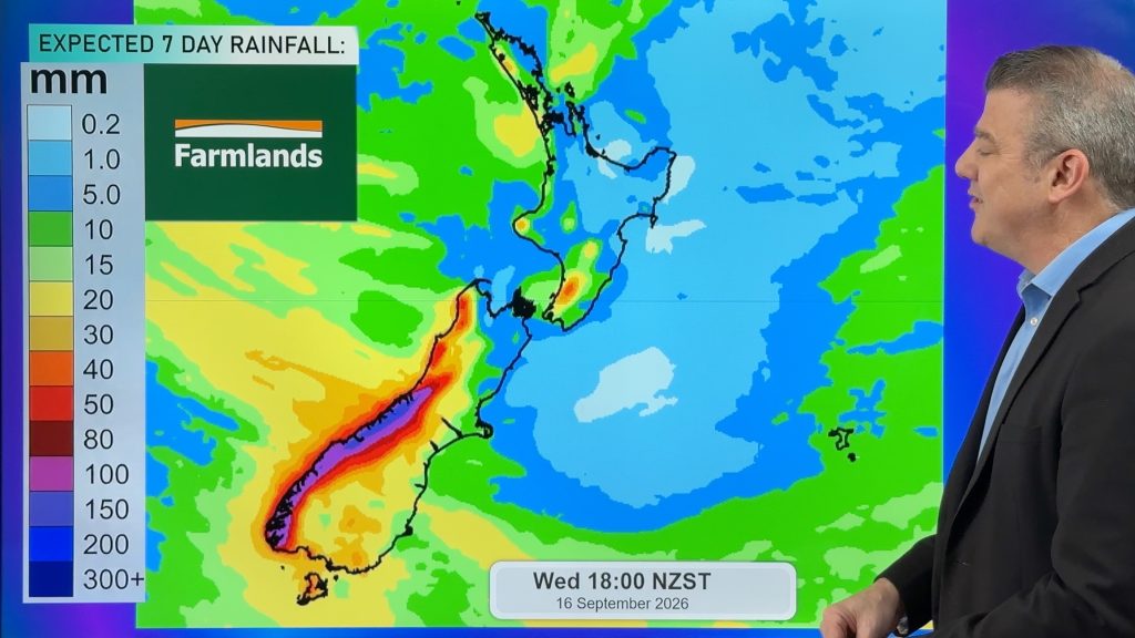
Cold front heads north, high pressure struggles to reach NZ
A burst of colder air spreads over NZ tonight but for many places Friday will be a milder day as…
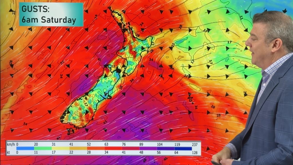
Thursday’s cold front, then more westerlies on way
A cold front will spread over the South Island by noon tomorrow, then over the North Island by midnight tomorrow,…

