> From the WeatherWatch archives
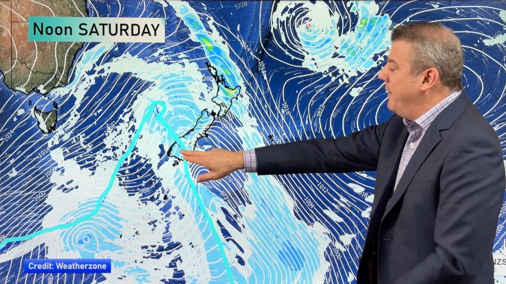
A ridge of high pressure forms over the South Island today meanwhile a southerly airflow lies over the North Island.
Northland, Auckland, Waikato & Bay Of Plenty
Morning rain about Northland eases to showers. A mix of sun and cloud with the risk of a shower elsewhere although the Waikato and Bay Of Plenty may have dry weather from morning. Southerly quarter winds.
Highs: 16-18
Western North Island (including Central North Island)
Any morning rain clears, some sun may break through before dusk. Southeasterly winds, gusty about the coast, easing evening.
Highs: 12-15
Eastern North Island
Rain about Wairarapa, the odd shower for Hawkes Bay then rain moves in late morning, easing evening then clearing overnight. Gisborne may have a dry morning then rain develops around midday, clearing overnight. South to southwesterly winds freshen in the morning.
Highs: 13-16
Wellington
A few morning showers, cloud breaks later in the day. Fresh southerlies.
High: 12
Marlborough & Nelson
Mostly sunny, cloud thickens up in the evening. South to southeasterly winds, afternoon northerlies for Nelson.
Highs: 13-14
Canterbury
Mostly cloudy, some morning fog. Chance of a brief shower around midday. Southwesterly winds tend easterly in the evening.
Highs: 10-12
West Coast
Sunny with south to southeast winds tending northeast in the afternoon, some cloud later in the evening for North Westland.
Highs: 12-14
Southland & Otago
Cloudy areas about Southland and coastal Otago, risk of a shower. Central Otago is more likely to see sunny areas. Showers more likely overnight for Southland as westerlies tend southwest.
Highs: 10-11
By Weather Analyst Aaron Wilkinson – WeatherWatch.co.nz
Comments
Before you add a new comment, take note this story was published on 11 Aug 2020.


Add new comment