> From the WeatherWatch archives
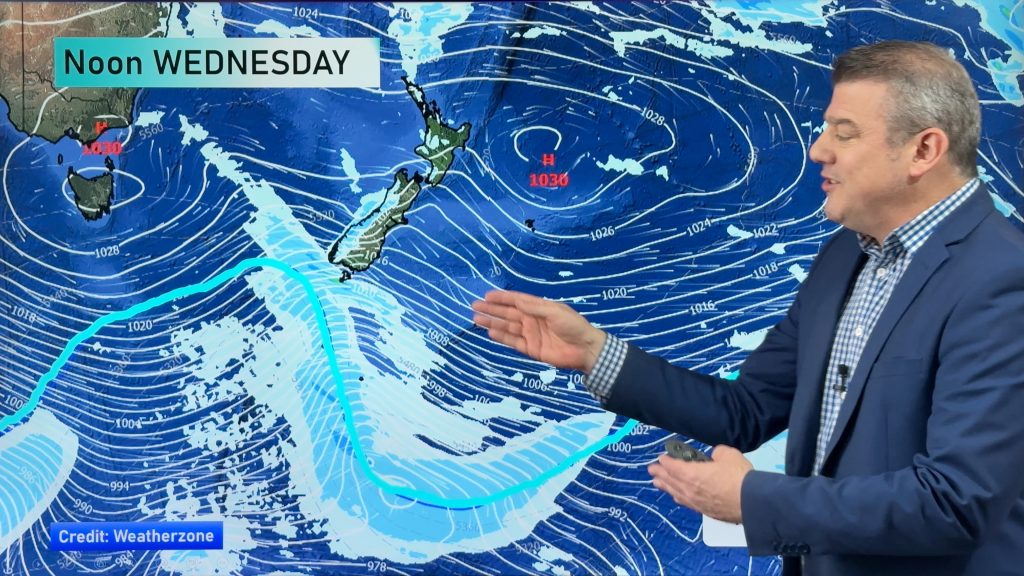
A north to northwest airflow lies over New Zealand today. A southwest change hitting the lower South Island around midday, reaching the upper South Island around midnight.
Northland, Auckland, Waikato & Bay Of Plenty
A mix of sun and cloud for Northland and Auckland, the Waikato and Bay Of Plenty may see cloudier skies in the morning then brighter in the afternoon. Light northwesterly winds.
Highs: 24-27
Western North Island (including Central North Island)
Cloudy with areas of rain or showers, northwesterly winds.
Highs: 20-23
Eastern North Island
Sunny areas and some high cloud, there may be a few spots of rain especially morning. Northwesterly winds.
Highs: 26-30
Wellington
Patchy rain or showers, especially this morning. Gusty north to northwesterly winds.
High: 21-22
Marlborough & Nelson
Sunny areas and some high cloud for Marlborough, northwesterlies pick up from afternoon. Nelson sees cloudier skies, even a shower or two, winds from the north.
Highs: 24-28
Canterbury
Mostly sunny with some developing high cloud, a few late evening showers as northerly winds change southerly.
Highs: 26-29
West Coast
Cloudy with the odd shower, turning to rain around midday. Rain eases in the evening as northerlies change southwest.
Highs: 19-22
Southland & Otago
Sunny areas and some developing high cloud about Southland then an early afternoon southwest change brings some rain, clearing evening. Rain (possibly heavy) not moving in to Otago till late afternoon then clearing at night.
Highs: 20-26
By Weather Analyst Aaron Wilkinson – WeatherWatch.co.nz
Comments
Before you add a new comment, take note this story was published on 12 Mar 2019.


Add new comment