> From the WeatherWatch archives
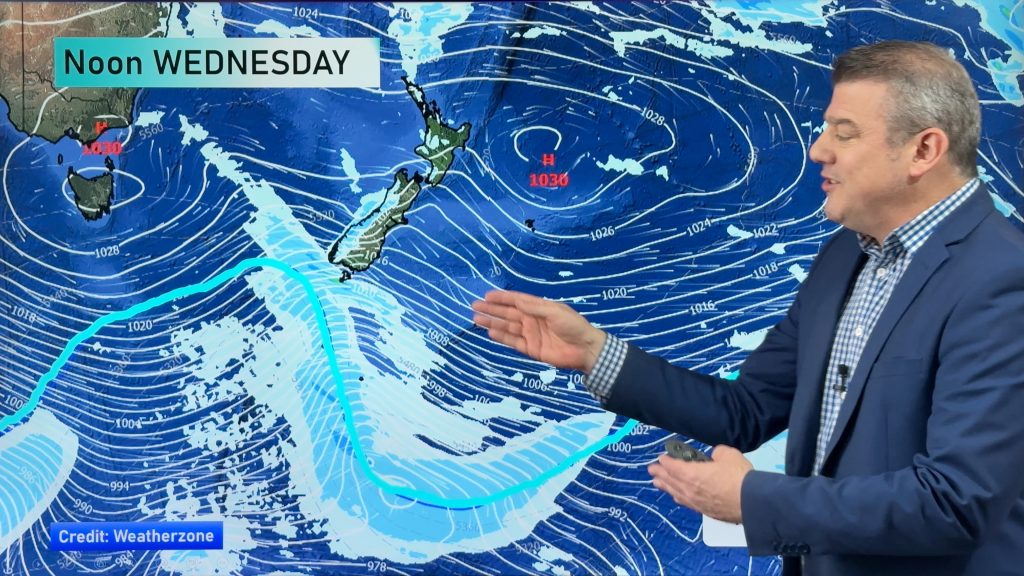
A strong southwesterly airflow lies over the country today with a few showers in the west, especially this morning. The east is mainly dry although a few morning showers clear the North Island’s East Coast. A southwest change moves onto the lower South Island late afternoon / evening bringing another burst of cold weather.
Northland, Auckland, Waikato & Bay Of Plenty
Cloudy periods and the odd shower (especially this morning). Brisk to strong southwesterly winds gradually ease from evening. The Bay Of Plenty may be fairly dry for much of the day.
Highs: 14-16
Western North Island (including Central North Island)
A few morning showers clear then mostly sunny, west to southwesterly winds strong about coastal Taranaki.
Highs: 12-15
Eastern North Island
Any early showers clear then mostly sunny, breezy southwesterly winds die out in the evening.
Highs: 15-16
Wellington
Early showers clear then mostly sunny, southerly winds gradually ease.
High: 13
Marlborough & Nelson
Sunny with west to southwesterly winds.
High: 14-15
Canterbury
Sunny with light winds. Southwest winds freshen late evening with some cloud.
High: 15
West Coast
Areas of cloud and the odd shower, sunny spells possible too. Late afternoon or evening some rain for a time. Southwesterly winds.
Highs: 10-12
Southland & Otago
Sunny areas and increasing cloud, showers and a risk of small hail developing late afternoon / evening as westerly winds change strong to gale southwest. Some snow to 400m in the evening about Southland, 500m for Otago.
Highs: 11-13
By Weather Analyst Aaron Wilkinson – WeatherWatch.co.nz
Comments
Before you add a new comment, take note this story was published on 19 Jul 2016.


Add new comment