> From the WeatherWatch archives
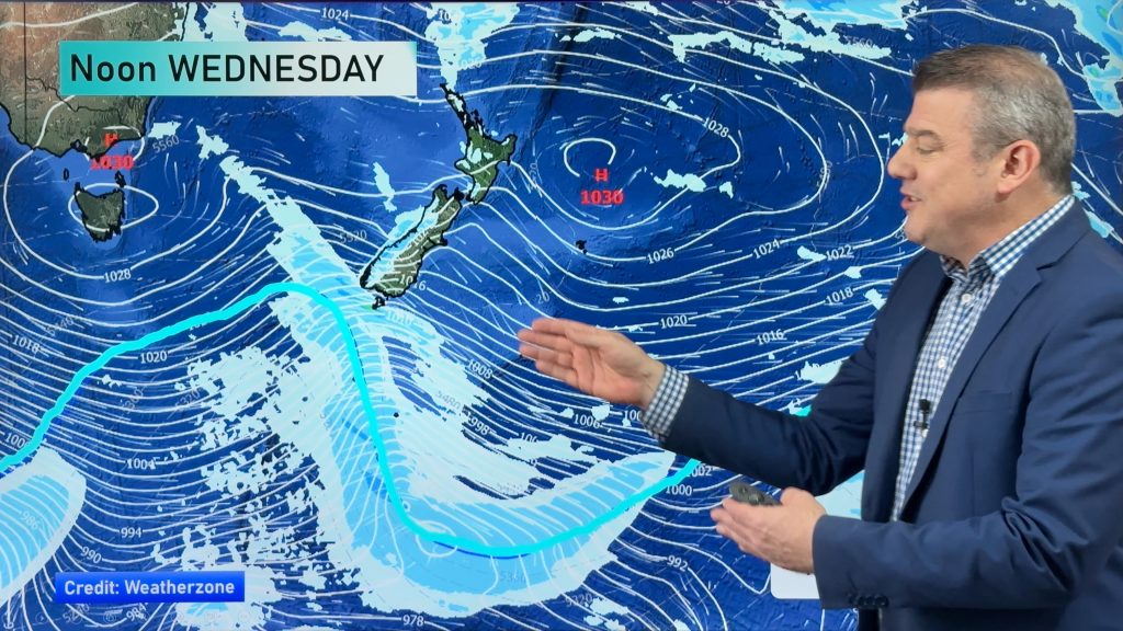
A ridge lies over the country today bringing mainly settled weather, meanwhile a low brews in the Tasman Sea.
Northland, Auckland, Waikato & Bay Of Plenty
Any morning fog breaks to sunny spells, cloud may be more persistent about the Waikato during the day. High cloud thickening from afternoon then showers move into Northland overnight. Light winds.
Highs: 14-17
Western North Island (including Central North Island)
Sunny areas with a chance of fog morning and night, mainly inland. High cloud thickens from afternoon. Light winds.
Highs: 12-15
Eastern North Island
Mostly sunny with some high cloud from afternoon, light winds.
Highs: 15-16
Wellington
Sunny areas with north to northwesterly winds. Winds change southerly overnight.
High: 13
Marlborough & Nelson
Mostly sunny with some high cloud from afternoon. Late evening, winds change southerly about Marlborough with some lower level cloud.
Highs: 13-14
Canterbury
Mostly sunny with light winds, some evening cloud and the chance of a shower with a southwest change.
High: 12
West Coast
Sunny areas, some rain moves into Fiordland in the morning. Further north it’s mainly dry although there may be a brief shower late afternoon / evening. Light winds.
Highs: 11-12
Southland & Otago
Mostly cloudy, a few afternoon showers with a southwest change then clearing away. Clear skies overnight and frosty.
Highs: 10
By Weather Analyst Aaron Wilkinson – WeatherWatch.co.nz
Comments
Before you add a new comment, take note this story was published on 5 Jul 2016.


Add new comment