> From the WeatherWatch archives
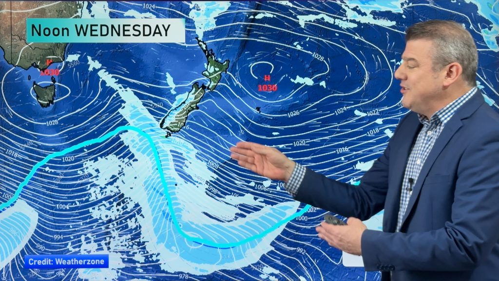
An enormous high pressure system is in the central Tasman Sea and will dominate New Zealand’s weather for the next week ahead.
The high itself won’t be centred of NZ until the end of the week – and even then it will be short lived as it tracks over northern NZ – but the slow movement of the high all week means it will affect weather across both main islands.
For the most part this week is drier than average, warmer by day and cooler by night. Daytime highs in places that last week had snow or frosts may this week be approaching 20 degrees, especially later in the week.
There will be a little bit of rain, mainly around Fiordland, Southland and South Westland. Most other places are dry or mainly dry.
**TECHNICAL ISSUES – Please note we are having some technical issues affecting the picture. This will be resolved by Tuesday or Wednesday. We apologise for any inconvenience caused**
Comments
Before you add a new comment, take note this story was published on 14 Oct 2018.


Add new comment