> From the WeatherWatch archives
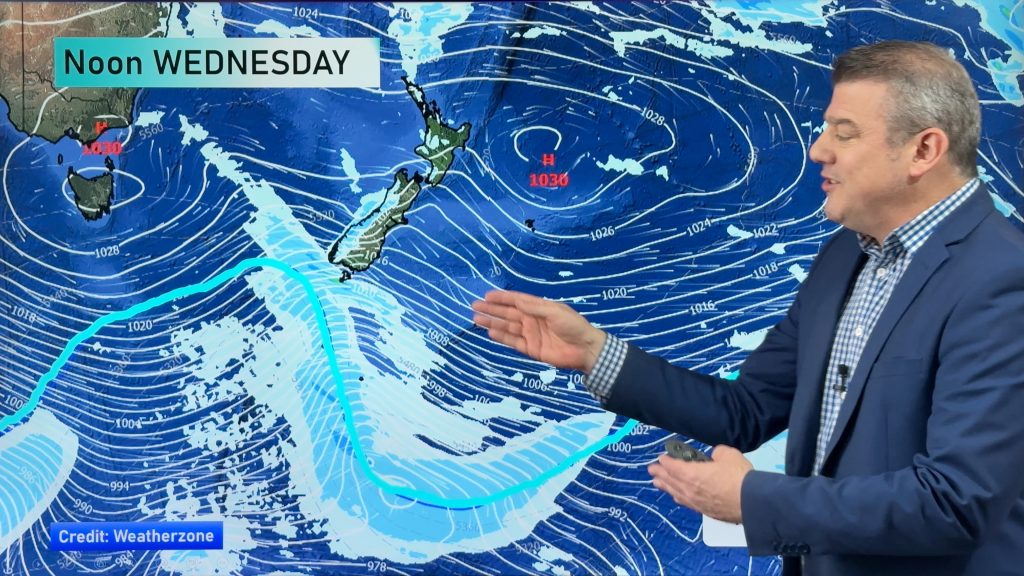
As we mentioned yesterday, it was looking likely the weather (and particularly the wind) could cause some problems around the country through the day today.
Winds will be a particular issue about Marlborough through to Wanganui, gusting strong from the northwest, and blowing up to gale force about Cook Strait (again). These winds should gradually ease from afternoon, however.
Wellington is looking rough later in the day, we mentioned yesterday there could be some potential thunderstorms but the model information seems to suggest the main thunder action will stay more to the east. Heavy showers and hail are still possible in parts late on in the day there, however.
The South Island is in the firing line first, and thunderstorms and rain are looking most likely for parts of Otago through to Canterbury throughout the day.
The West Coast is looking rough too, as heavy rain this morning should clear by midday as that front moves northwards in the PM.
-Aaron Wilkinson & Drew Chappell, WeatherWatch.co.nz
Comments
Before you add a new comment, take note this story was published on 18 Nov 2014.


Add new comment
Tim on 18/11/2014 8:16pm
Gday guys,
Here in darfield we have only had 164mm of rain since early June!
Even some old timers are saying it’s the driest they can remember for some time. Is there any respite coming?
Reply
WW Forecast Team on 18/11/2014 9:49pm
Should be some rain late afternoon / evening today. And perhaps again on Saturday but no major respite on the way unfortunately. It’s just the time of year we are in and the current pattern, keeps the east coast fairly dry.
Aaron
Reply