Weather headlines (x3) for Monday: Live Updates for Monday, Low snow far south Tue, Frost potential Tue / Wed mornings
12/06/2022 10:08pm

> From the WeatherWatch archives
Updated 1:04pm — Here’s what is making the weather headlines today.
LIVE UPDATES ON TODAY’S WEATHER
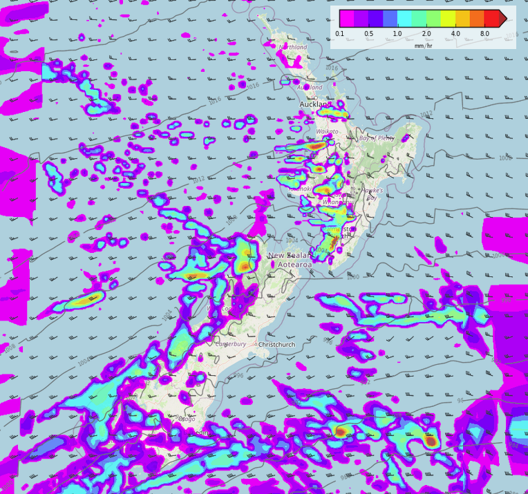
A front passes over the North Island this morning then off to the northeast this afternoon meanwhile another front pushes northwards over the South Island with strong westerly winds changing southwest. Expect gales about many coastal areas today including Auckland and Wellington with heavy, squally, showers lining the entire western coastline at times.
Expect more heavy falls with thunderstorms and hail in the west, easing from this afternoon for the West Coast. Some snow develops about the far south this afternoon lowering to about 600m.
More details and warnings in regards to today’s weather put out by Metservice at this link here.
See our latest tweets below…
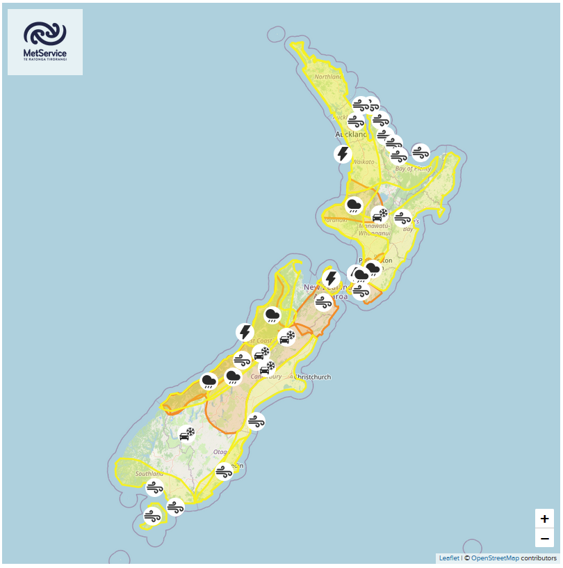
SNOW AS LOW AS 300/200M TOMORROW FOR LOWER SOUTH
The air gets quite cold for Southland tomorrow afternoon with the snow level possibly getting as low as 300 to 200m, the snow level for Otago will be about 100m higher than Southland. Expect some snow for the mountains of Fiordland also, to 300m in the south and 500m in the north, north of Greymouth the snow level is about 800m.
VERY FROSTY EASTERN SOUTH ISLAND TUESDAY / WEDNESDAY MORNINGS
Provided skies are clear and winds light then conditions should be quite frosty on Tuesday and Wednesday morning for the eastern South Island, this is more so the case for inland areas. The Mackenzie Country for example could wake up to -5 on Tuesday morning and -3 to -4 on Wednesday morning.


Latest Video

Snow, rain showers & cold polar southerlies set to return
Friday will be a wintry day across NZ as the next cold front arrives, bringing snow to lower levels of…
Related Articles
Snow, rain showers & cold polar southerlies set to return
Friday will be a wintry day across NZ as the next cold front arrives, bringing snow to lower levels of…

Frosts, late week rain & another cold weekend coming
High pressure will cross NZ over the next few days meaning more cold nights/mornings with frosts, but a nor’wester will…

NZ: Cold & windy, then calm & frosty
Downpours, some squally with the chance of thunderstorms and even small tornadoes are possible for parts of NZ over Friday…

