Weather headlines (x3) for Monday: Cold in the east, Frosty overnight South Island, Becoming settled from Tuesday
19/06/2022 7:00pm

> From the WeatherWatch archives
Here’s what is making the weather headlines today.
COLD DAY IN THE EAST
A very cold southeasterly airflow lies over New Zealand today bringing showers in the east, light snow flurries to 600m, possibly getting as low as 400m north of Banks Peninsula through to the ranges of Wairarapa.
Temperatures range from 6 to 10 degrees for the eastern South Island, between 8 to 12 degrees for the eastern North Island.
FROSTY OVERNIGHT FOR THE SOUTH ISLAND
While certain parts of the South Island will be frosty this morning (mainly inland, Central Otago for example), the frost risk spreads for overnight tonight into Tuesday morning with heavy frosts for inland areas.
Frosty again on Wednesday morning.


BECOMING SETTLED FROM TUESDAY
A high pressure system spreads over the South Island on Tuesday bringing settled, sunny weather. Showers for the eastern North Island, partly cloudy skies out west with showers about Northland.
Settled again on Wednesday for the South Island, a few showers continue for the eastern North Island but gradually clear from the south. Mostly sunny for the western North Island.
Thursday is settled and mostly sunny for most, some mid level cloud for the eastern North Island breaks away. Partly cloudy skies north of Auckland, a few showers for Northland. The West Coast has a mix of sun and cloud.
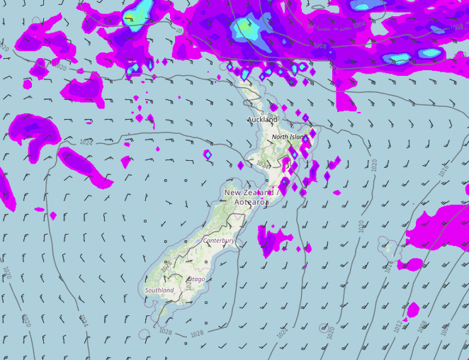
MSLP / Rain map – Tuesday 3pm 
MSLP / Rain map – Wednesday 3pm 
MSLP / Rain map – Thursday 3pm
Latest Video

Large low brings rain, downpours & some snow – gets colder as the week progresses
Low pressure will cross the upper North Island in the days ahead and that set-up actually pushes more heavy rain…
Related Articles
Large low brings rain, downpours & some snow – gets colder as the week progresses
Low pressure will cross the upper North Island in the days ahead and that set-up actually pushes more heavy rain…

WeatherWatch App launches real-time local lightning tracker!
A bolt out of the blue! WeatherWatch has launched a live, real-time lightning tracker, enabling Kiwis to gain access to data provided by the…

Polar airflow + northern low = pockets of heavy rain & snow
A colder change is coming – and so too is a large low which will develop and grow over northern…

