Weather Headlines for Monday – Some rain in the north, SW then settling down
23/01/2022 6:00pm

> From the WeatherWatch archives
Humidity increasing in the north
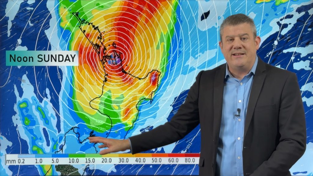
The humidity will be increasing today for the upper North Island thanks to a northeasterly airflow which is coming in from the sub-tropics, this flow is also being cranked in or aided if you will be a low in the Tasman Sea.
Parched areas will hopefully see some rain – mainly Tuesday but starting today
The upper North Island will be seeing some patchy rain or drizzle today finally and that’s good news although tomorrow conditions may set in a little more with a greater chance of more persistent rain. Northland could see a thunderstorm and heavy fall from afternoon and this area of instability may reach down to about Auckland at night, the nature of thunderstorms sometimes means they aren’t totally widespread so not all areas will receive the same but fingers crossed for some rain where you are.


Instability moves a little further eastwards on Wednesday
Auckland in the morning then Bay Of Plenty through to the Manawatu in the afternoon on Wednesday could see a thunderstorm and downpour as the area of instability mentioned above moves eastwards. The airflow in general changes from a northerly to southwesterly one into the second half of Wednesday, Thursday is cooler with showers (mostly in the east) but they gradually clear then an anticyclone moves in on Friday.

Comments
Before you add a new comment, take note this story was published on 23 Jan 2022.


Add new comment