Warmer than average for eastern New Zealand …but heavy snow in the mountains (+3 Maps)
26/07/2018 10:41pm

> From the WeatherWatch archives
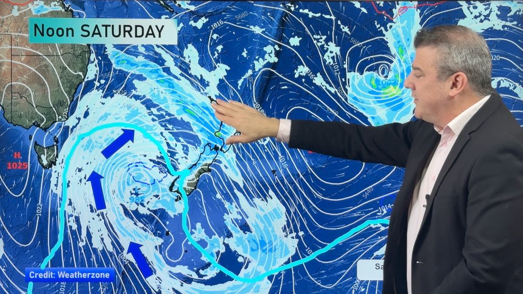
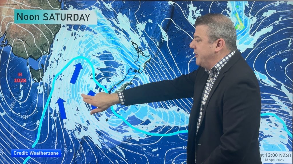
Where are the highs at the moment? They are north of New Zealand. The bulk of the lows are south of us. The combination of highs to our north and lows to our south encourages plenty of westerly quarter winds over New Zealand and, generally speaking, these are warmer than average.
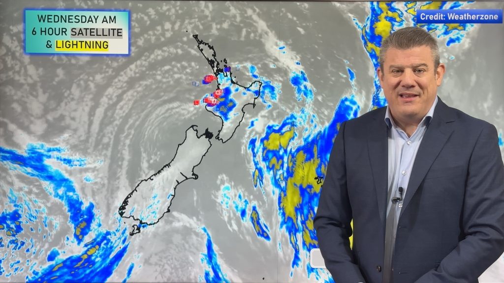
Rain and showers will intermittently fall on west side of both islands with snow in the high mountains today and tomorrow. Snow accumulation may locally reach 30-50 cm today and tonight.
On the other hand, dry weather will be expected on the eastern side of the South and North Islands due to the rain shadow effect (the mountains holding up the rain and clouds on the western side and making for sunnier, drier, warmer weather on the eastern side).
Maximum temperatures will be 3 to 5 C higher than average due to the foehn phenomena, with Hawke’s Bay forecast to have highs in the late teens, possibly even 20 degrees in some isolated pockets.


– WeatherWatch.co.nz
Comments
Before you add a new comment, take note this story was published on 26 Jul 2018.


Add new comment