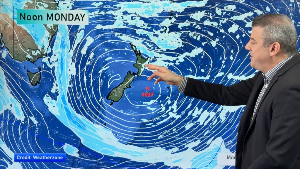
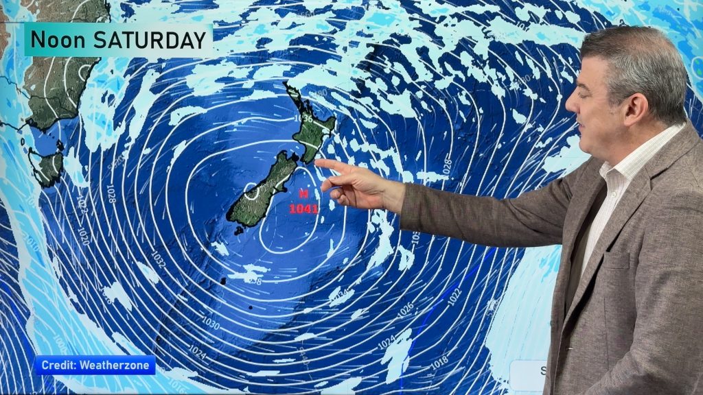
VIDEO: Wintry change, high pressure, then another western cold front
1/07/2020 12:55am

> From the WeatherWatch archives
We have an “excellent forecast” according to Philip Duncan as NZ gets a good variety of weather – a positive for the economy.
Rain has fallen in dry regions, more showers are set to lock in the weekend rain – and then high pressure later this week will give saturated regions a chance to dry out again.
The sub-tropics even return this weekend – but before then a wintry southerly will dominate this week bringing more snow in the ranges (even the North Island ski fields).
Overall – it’s a good week to balance the weather books!
Comments
Before you add a new comment, take note this story was published on 1 Jul 2020.


Add new comment
Vicky on 1/07/2020 1:59am
Hi Wonderful WW Team,
Any idea when the rain and snow clears in TAIHAPE/Waiouru area tomorrow? Any chances of road closures too?
I will be travelling to Ohakune tomorrow morning.
Cheers,
Vikas
Reply
WW Forecast Team on 1/07/2020 3:40am
Hi Vicky
There will likely be snow for you tomorrow in those areas and with that probably road closures. I’d keep an eye on AA road watch or here perhaps: https://www.journeys.nzta.govt.nz/traffic/?layers=road-closures
Conditions don’t clear until later in the day.
Cheers
Aaron
Reply