VIDEO: Rain and gales for some, frost alert for others!
14/02/2021 9:28pm

> From the WeatherWatch archives
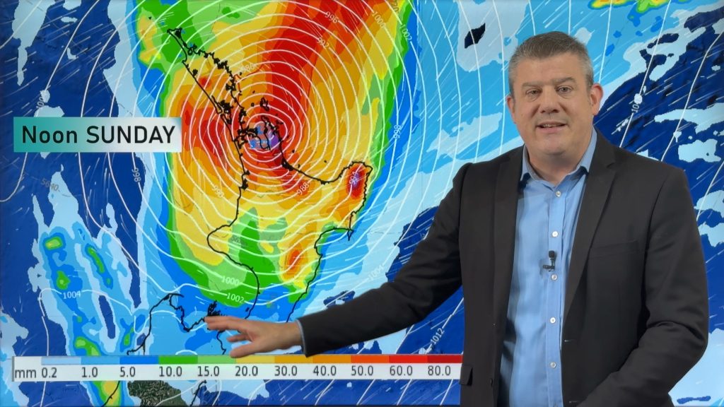
We have a messy start to this week – then a very settled end to it.
Low pressure out of the sub-tropics coupled with a powerful (and growing) high between Fiordland and Tasmania means we have a windy few days ahead with easterlies especially strong through central NZ/Cook Strait area.
Rain will be heaviest in the north eastern corner of the North Island.
Meanwhile the incoming high will bring some cold nights and possible frosts to some interior parts of the South Island – this same high brings a calm end to the week and, likely, a calm and sunny weekend coming up too.
Comments
Before you add a new comment, take note this story was published on 14 Feb 2021.


Add new comment
david benton on 15/02/2021 12:19am
Really appreciate these videos , but the colour scale on the accumulated rain map drives me nuts . How can Dark blue be zero , then light blues etc are midrange ? I would make dark red zero , graduating up to dark blue for heavy rainfall.
Reply