

> From the WeatherWatch archives
We track Tropical Cyclone Evan’s track to NZ and finally a look at how Christmas Day is shaping up.
Comments
Latest Video
19/10/2026 2:15pm
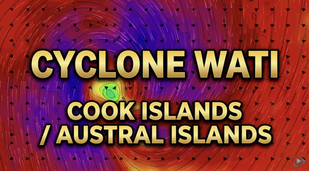
Cyclone Wati: Cook Islands today, Austral Islands tomorrow
Tropical Cyclone Wati is today (Sunday local time, Monday NZDT) tracking over the Cook Islands bringing damaging wind gusts to…
Related Articles
19/10/2026 2:15pm
Cyclone Wati: Cook Islands today, Austral Islands tomorrow
Tropical Cyclone Wati is today (Sunday local time, Monday NZDT) tracking over the Cook Islands bringing damaging wind gusts to…
18/10/2026 3:37pm
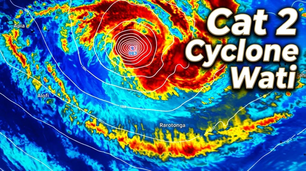
Tropical Cyclone WATI – Update
Sunday NZDT/Saturday Cook Islands Time — We have the latest on Cyclone Wati as it remains a Category 2 Tropical…
17/10/2026 2:01pm
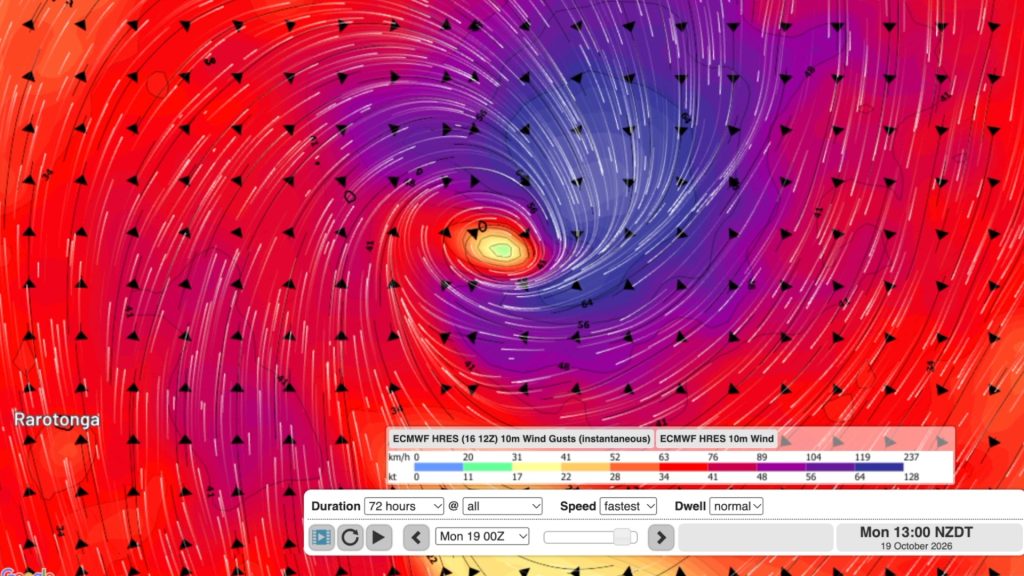
Tropical Cyclone WATI forms, heads to Aitutaki & southern Cook Islands
A Tropical Cyclone has formed before the South Pacific Cyclone Season has even officially started (Nov 1) as El Nino…


Mark on 20/12/2012 8:43am
Looking at the movement of Evan it appears to be drifting to the east of NZ – is this correct?
WW Forecast Team on 20/12/2012 9:13am
Yep on the sat map looks very much to the east, but we think the low will curve back more towards the upper NI over the next 48 hours – there is a huge blocking high hard up to the east of Evan, so it can’t move much further east than it is now.
Cheers
Phil
Guest on 19/12/2012 5:46pm
Met service 7 day is now using ecmwf data.
Guest on 19/12/2012 3:44pm
Have you seen the Metservice 7 day forecast? They have the remnants of Evan tracking into the middle of the Tasman, quite different form you model. Are they basing that on the European model?
WW Forecast Team on 19/12/2012 5:07pm
The models are changing over and over. In fact the European one (ECMWF) has picked the Tasman the entire time. GFS (American) picked it going just east of Hawkes Bay. Weathermap – based in New Zealand – use GFS but also their own local data, which saw a more sensible ‘half way’ prediction – basically in the middle of the two models – which is the North Island pretty much.
All the models are flip flopping on where Evan’s remnants go AFTER Christmas Day – but regardless its still a pretty similar forecast for NZ.
Unsure where MetService get their modelling from – we don’t use it. We use the three mentioned above along with JTWC (but only for cyclones).
Modelling can be wildly changeable especially when you go beyond 5 days…so the forecaster who uses them must know which ones to trust – and when to not trust them.
It has the potential to go into the Tasman or the Pacific – like an egg on a rooftop, so is this low on the top of NZ!
– Phil