Updated: Some rain for NZ’s driest regions this Friday – who gets some, who misses out (+Latest Maps)
5/03/2019 7:59pm

> From the WeatherWatch archives
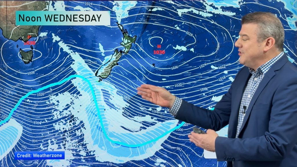
A small area of low pressure will briefly exist around the North Island on Friday and this will help produce areas of rain, showers and drizzle patches across the island and upper South Island.
The forecast looks messy with some areas getting soaking downpours, others only frustrating teases with showers and drizzle. The nature of the set up this Friday means it may not be until the day itself we can truly lock in who has the best chances, as it’s a bit hit and miss and due to our mountains and ranges also getting in the way but the fact the low is so weak means it doesn’t have much ‘oomph’.
At this stage some areas that appear to have a better shot at rain look to be Taranaki, Whanganui and Manawatu, then further north it may affect Central Plateau, parts of Waikato and parts of Bay of Plenty – but there may also be parts of these regions that get as little as 5 to 10mm, so don’t get your hopes up just yet. Nelson is another area that could get some much needed rain, perhaps 10 to 20mm, which would be very welcome following all the fires. Some of the ranges may get double the amounts.
This is a borderline set up for “soaking” rains – so we’ll keep you posted. In the meantime, keep up to date with the rain maps we have on our website and free App.
TOTAL RAINFALL ACCUMULATION MAPS BETWEEN 9AM TODAY/WEDNESDAY and 9PM THIS SATURDAY


– WeatherWatch.co.nz
Comments
Before you add a new comment, take note this story was published on 5 Mar 2019.


Add new comment