> From the WeatherWatch archives
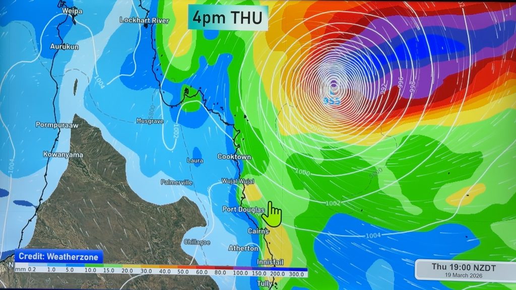
This updated timelapse uses false colour infrared imagery from JMA’s MTSAT geostationary satellite & radar data from the Australia BoM to track the path of the Tropical Cyclone Yasi as it forms and heads towards the Queensland Coast.
It has passed directly over the Willis Island radar which allows the Eye to be clearly seen by the radar and satellite imagery.
It is expected to make landfall around 10pm tonight AEST (1am NZT).
Our thanks again to www.theweatherchaser.com for providing this animation.
Comments
Before you add a new comment, take note this story was published on 2 Feb 2011.


Add new comment