Updated: 4-day Rain & Snow Accumulation maps + temperature maps (x5)
22/08/2019 12:32am

> From the WeatherWatch archives
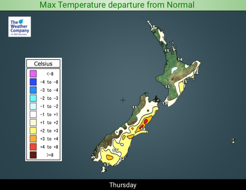
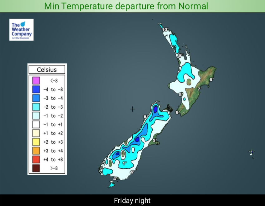
A large area of low pressure is currently crossing New Zealand and will bring heavy downpours to the west and mild weather to the south and east until a colder change heads northwards later on Friday.
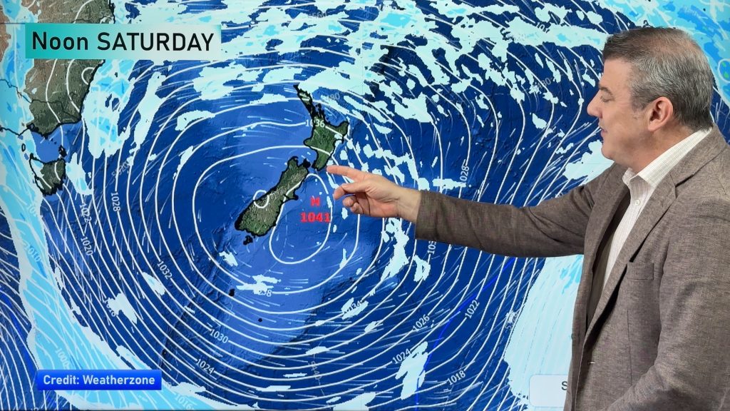
Until later on Friday the wind flow will be mostly W to NW meaning the bulk of the rain will be in the west and north of both islands. The colder south to south west change moves up the country late Friday and into Saturday but is short lived.
Another cold front on Sunday brings further rain and showers, mostly in to the West Coast.
Some downpours today and overnight tonight will contain thunder and hail in the west side of both islands, especially the western and upper North Island. The thunderstorm risk starts today, peaks overnight then eases on Friday.


– WeatherWatch.co.nz
Comments
Before you add a new comment, take note this story was published on 22 Aug 2019.


Add new comment