
Update on incoming cold change for NZ
21/07/2026 11:35am
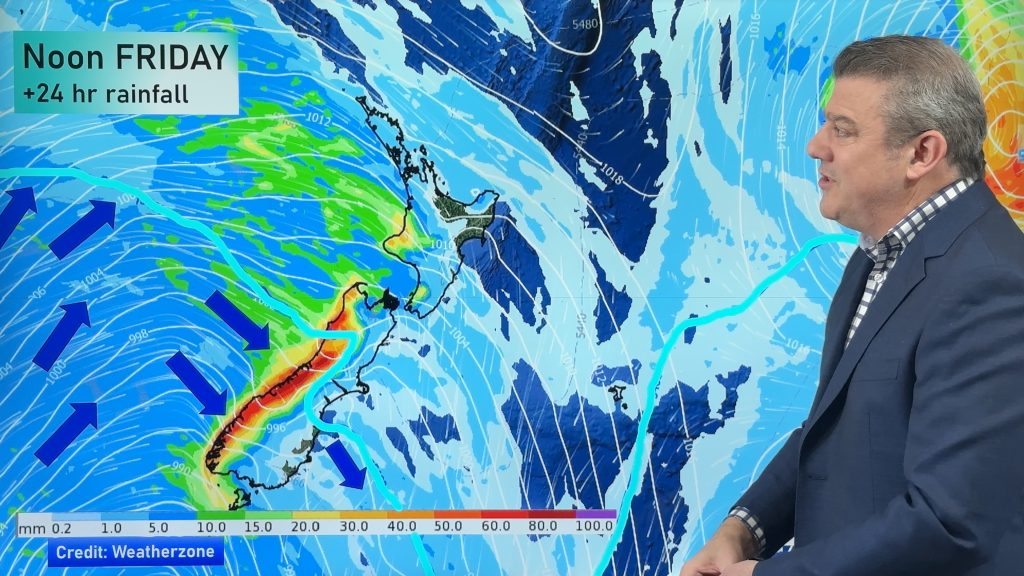
High pressure still covers NZ but that will slide offshore as we go into Friday and the weekend as a polar southerly change arrives. Snow levels continue to move around, but early estimates suggest snow may fall below 200m for a time in the lower South Island (Southland and Otago) and in the North Island may get down to 600m around Central Plateau – but it’s worth noting that wind directions matter and some areas may have a low snow level but dry skies along with it.
Central Plateau looks to get snow on the highways, along with the South Island’s alpine passes – and other South Island highways may be impacted..
Over the next 7 days western areas will get the bulk of the rain and showers, along with Southland. Eastern areas, generally speaking, don’t have a lot of wet weather although showers may spillover from the west.
We break down the forecast between now and Monday – and will update you again tomorrow Wednesday with the latest. (we do expect some further changes to the forecast going into the weekend).
Latest Video
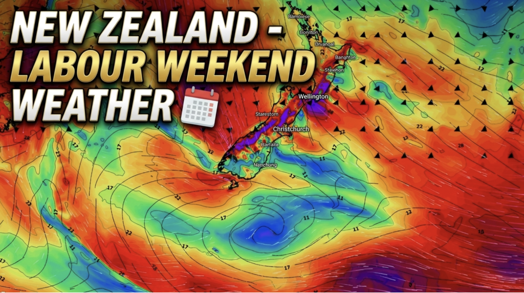
Weather this week & Labour Weekend
High pressure dominates NZ’s weather this week, but slides off much of the country by Labour Day Monday. Despite the…
Related Articles
Weather this week & Labour Weekend
High pressure dominates NZ’s weather this week, but slides off much of the country by Labour Day Monday. Despite the…
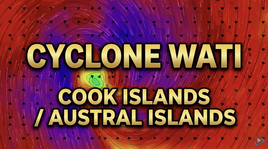
Cyclone Wati: Cook Islands today, Austral Islands tomorrow
Tropical Cyclone Wati is today (Sunday local time, Monday NZDT) tracking over the Cook Islands bringing damaging wind gusts to…
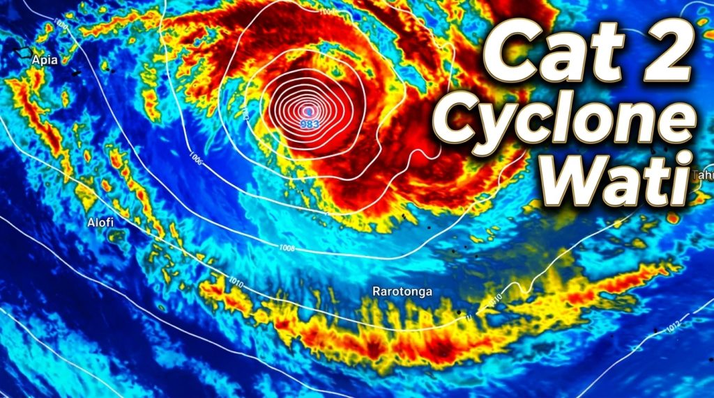
Tropical Cyclone WATI – Update
Sunday NZDT/Saturday Cook Islands Time — We have the latest on Cyclone Wati as it remains a Category 2 Tropical…

