> From the WeatherWatch archives
A bit of weather action on the way this coming week with various fronts due to cross the country meaning cold spells and showers for many, but at times warm periods for eastern regions before fronts move in. So lets see how things are shaping up.
A front moves off the upper South Island on Monday morning and slowly onto the North Island for the rest of the day, due to the slow moving nature of this front there could be some heavy rain in store south of Taranaki in the morning especially in the west. The front moves into Central North Island regions in the afternoon with a southerly change working up the east coast.
For the rest of the South Island expect sunny weather to develop out west early on, cloud and drizzle in the east gradually clearing from the south. The upper North Island sees cloudy areas and westerlies, some patchy rain from afternoon although Northland may remain fairly dry.
Monday’s front lingers over Auckland and perhaps Northland on Tuesday bringing some rain for a time. The rest of the country gets a brief reprieve from inclement weather but it doesn’t last for long as northerlies strengthen across most of New Zealand from morning. Rain moves onto the West Coast of the South Island from afternoon and onto the west of the North Island by evening, high cloud thickens out east.
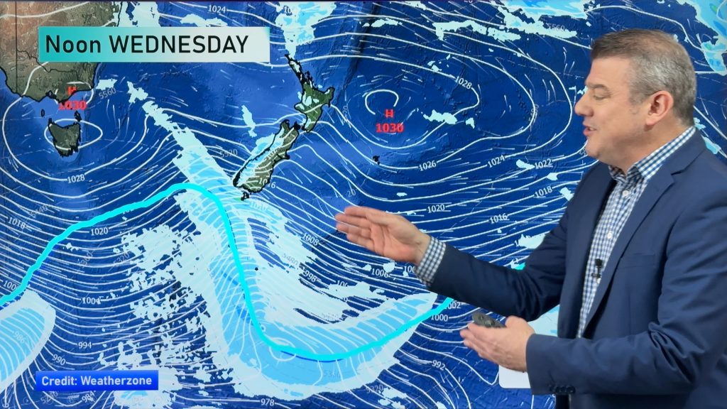
The flow tends northwest on Wednesday so western areas can expect showers, especially the west of the South Island. Out east warm temperatures and sunshine is likely however a cold southwest change moves onto the east coast of the South Island from afternoon bringing showers, some of which could be heavy with thunderstorms and hail. Showers push onto the lower North Island around midnight which could be heavy with hail and thunderstorms also, especially to the likes of Wellington and southern Wairarapa.
On Thursday a westerly airflow lies across the country, there may be a few heavy showers with hail early on over the North Island however they will quickly ease with sunny spells developing, winds will be strong and gusty for many though. For the South Island expect a few showers out west and mostly sunny weather in the east.
Finally on Friday a westerly airflow covers the country again, showers are looking likely for western regions while mainly dry conditions could be expected out east. However coastal Canterbury and Otago could see a few heavy showers about in the morning then clearing.
Homepage image / Chris Johnson
By Weather Analyst Aaron Wilkinson – WeatherWatch.co.nz
Comments
Before you add a new comment, take note this story was published on 26 Oct 2014.


Add new comment