Unsettled long weekend on the way as large low develops – for most, not for all (+5 Maps)
31/05/2018 2:34am

> From the WeatherWatch archives
It is mostly sunny and calm across a large portion of New Zealand today but things will change as we head into late Friday as a nor’easter develops ahead of a large low pressure system for the long weekend.
Today a high pressure system will actually continue to be stronger and on Friday will continue to cover New Zealand, but is slipping away towards evening.
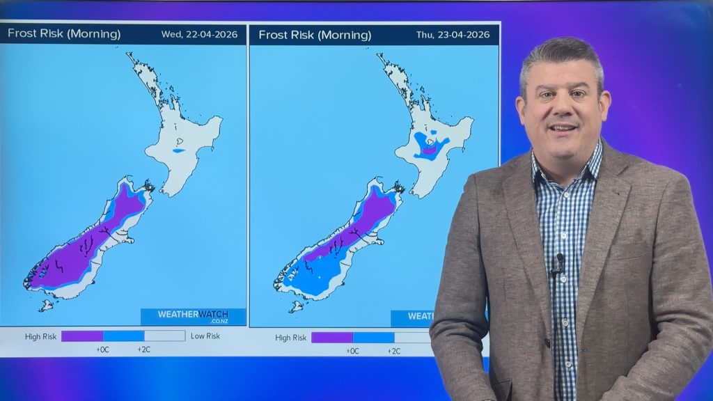
Daytime highs will be near average in most places and will be 10-15C today. However, tonight minimum temperatures will be much lower than average and will be below 4C in most major cities.
It will also be below 0C in some areas of the South Island, as low as -4C in some parts of Otago.
After the cold start on Friday it will be almost the same weather as today. On the other hand, it conditions do go downhill at night with a rough or unsettled weekend for many northerners – and at one point, perhaps Sunday, may impact both islands with rain or showers and some wind.
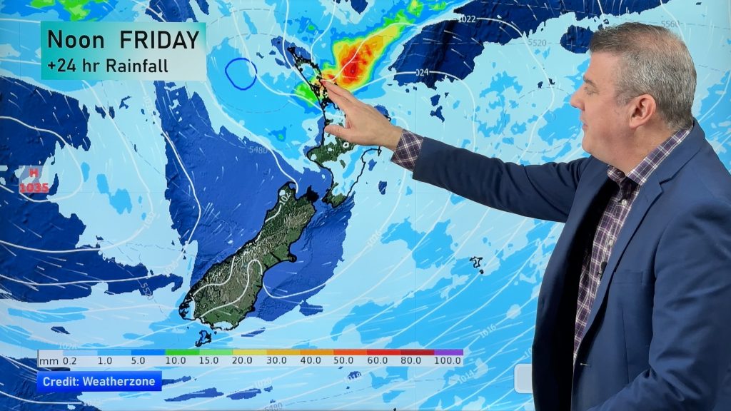
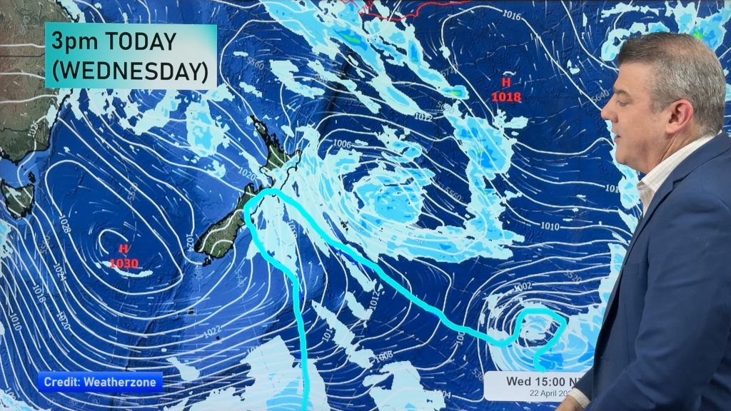
A low pressure will stay and develop more and more in the middle of the Tasman sea and by Monday gradually drift to the North Island. Various weather models still have different solutions but the large low may approach New Zealand on Sunday/Monday and may prompt some pockets of severe on Sunday, especially in the upper North Island. Localised heavy rain, lightning, strong winds, high waves and storm surge might all be possible. There will also be dry and calm spells too – it’s not solid rain for three days, but the low does linger nearby for three days.
The place to be this long weekend? We have picked three – Southland, Otago and South Westland.


 – Monday air pressure + rain map / Weathermap.co.nz
– WeatherWatch.co.nz
Comments
Before you add a new comment, take note this story was published on 31 May 2018.


Add new comment