Tuesday’s national forecast – Unsettled with SW airflow (+12 maps)
26/07/2021 4:00pm

> From the WeatherWatch archives
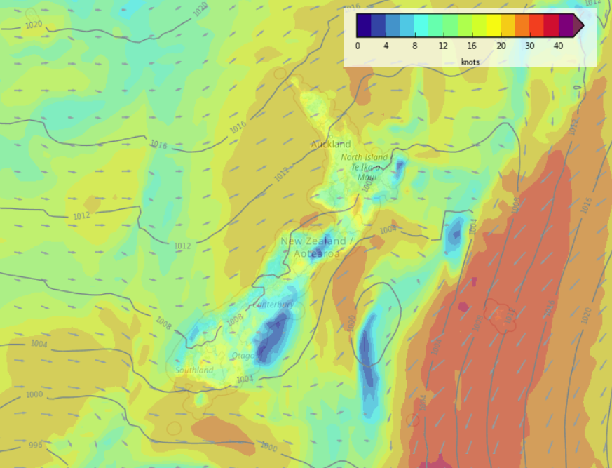
Conditions are a bit unsettled today with a southwesterly airflow lying over New Zealand, from afternoon wet weather will start to ease for the South Island then from this evening / overnight for the North Island.
Most regions see rain or showers today but starting to dry up from this morning for the lower South Island, this afternoon about the upper South Island, overnight for the North Island. A ridge of high pressure moves in overnight, a frosty start for some South Island areas (especially inland) by dawn on Wednesday.
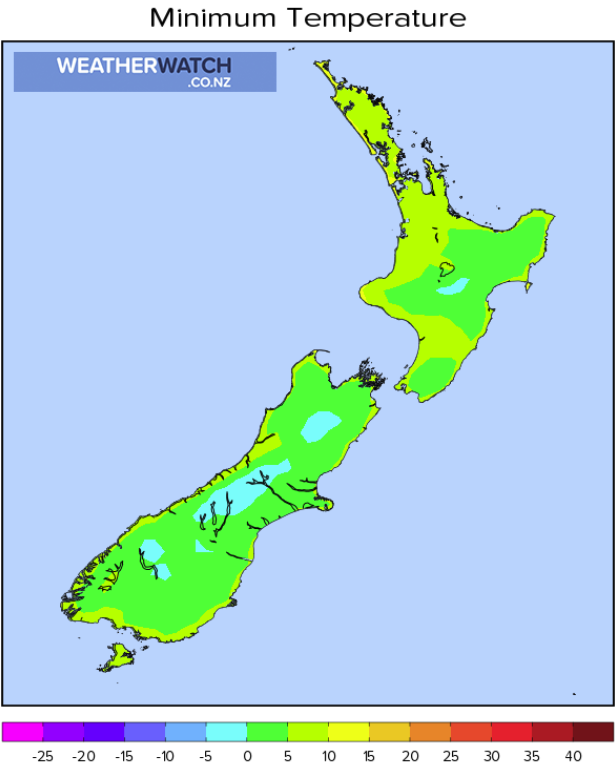
Please refer to your local, hourly, 10 day forecast for more details.
Northland, Auckland, Waikato & Bay Of Plenty
Morning heavy showers then easing as northwesterlies change southwest, from afternoon sunny spells break through and the odd shower remains mainly out west.
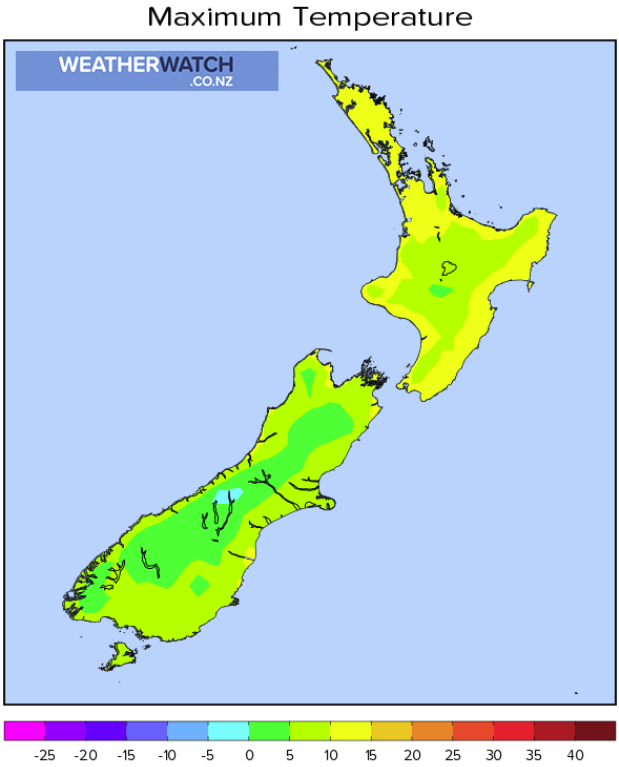
Highs: 14-16
Western North Island (including Central North Island)
Morning showers, possibly heavy about Taranaki then easing into the afternoon as northwesterlies change westerly. Some sun may start to break through also. By evening it should be mainly dry but there may still be a shower or two about.
Highs: 8-14
Eastern North Island
Thick high cloud in the morning, there may be a few spits of rain then becoming mostly sunny in the afternoon as northwesterlies tend to the west. Wairarapa may see a coastal shower in the afternoon with winds changing southwest for a time there.
Highs: 14-17
Wellington
Cloudy areas, a few showers possible, mainly around midday as northwesterlies change southerly for a time. Sunny areas then develop from afternoon with winds tending back to the north by evening.
Highs: 13-14
Marlborough & Nelson
Mostly sunny, westerly quarter winds, more southwest for Nelson, west to northwest for Marlborough.
Highs: 13-15
Canterbury
Rain, clearing around midday, southwesterlies die this afternoon with sun starting to break through.
Highs: 11-14
West Coast
Showers, sun may briefly break through at times. Southwesterlies die out later in the day.
Highs: 9-12
Southland & Otago
Cloudy areas with a shower or two for Southland, mainly in the afternoon. Otago has any early showers clear then mostly sunny. West to northwesterly winds.
Highs: 10-13


Latest Video

More heavy rain, snow – but large dry areas, especially as we go into the long weekend
Heavy rain will continue for parts of Canterbury and Marlborough over the next day or two and it will gradually…
Related Articles
More heavy rain, snow – but large dry areas, especially as we go into the long weekend
Heavy rain will continue for parts of Canterbury and Marlborough over the next day or two and it will gradually…

Large low brings rain, downpours & some snow – gets colder as the week progresses
Low pressure will cross the upper North Island in the days ahead and that set-up actually pushes more heavy rain…

WeatherWatch App launches real-time local lightning tracker!
A bolt out of the blue! WeatherWatch has launched a live, real-time lightning tracker, enabling Kiwis to gain access to data provided by the…

